
The digital border
Today, the administration and documentation of the national border are carried out in a geographic information system (GIS). For this purpose, the coordinates of the course of the border and the position of the border points have to be recorded and made available in digital form.
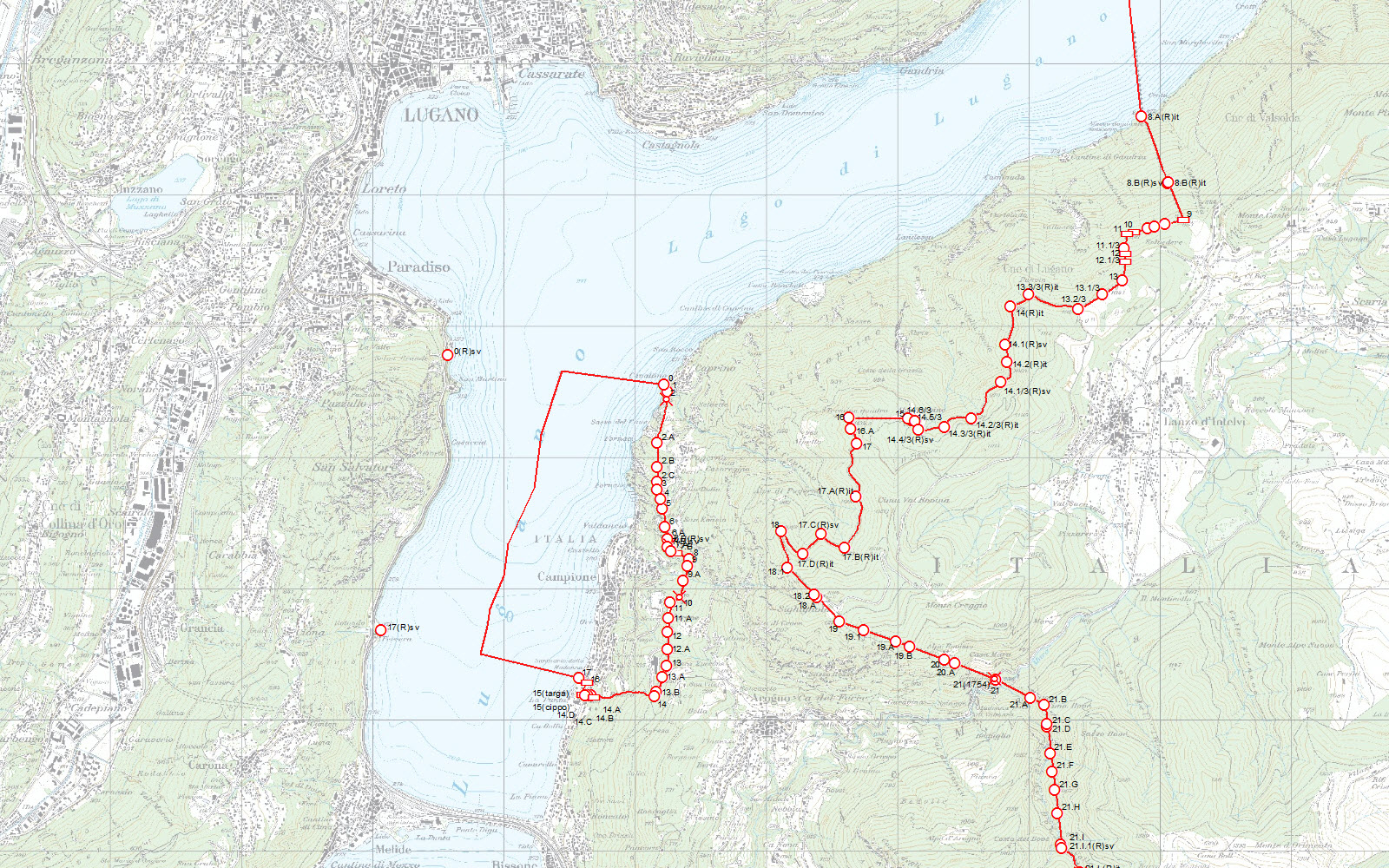
More than 7000 border markers
Switzerland’s national border is indicated with 7132 markers. The Federal Office of Topography swisstopo is responsible for their documentation and administration, as well as for the archiving of the original data.
In the past, large portions of the course of Switzerland’s national border were described in text form, but today the border is defined with the aid of coordinates in the official geodetic reference system of both countries, as well as in the European reference system, ETRS89 and in the European reference frame, ETRF93. This concerns both boundary stones as well as border lines (watersheds, centres of rivers, etc.).
Switzerland’s neighbouring countries also rely on geo-referenced data because the border functions as a regional delimitation for various products (geographic information system, cadastral survey, etc.). It is therefore essential to ensure that for this delimitation an identical geometric definition exists between the two countries.
The «State Boundaries of Europe» project
Within the scope of the EuroGeographics «State Boundaries of Europe» project, the data relating to all national borders are being coordinated and managed in a European geographic information system. Switzerland has been actively participating in this project since 2005.
Links
Federal Office of Topography swisstopo
Seftigenstrasse 264
3084 Wabern