
Terrestrial images
Between 1915 and 1947 much of the region of the Alps was topographically surveyed using terrestrial photogrammetry for the purpose of producing the 1:10'000 fortification maps and the 1:50'000 National Map.
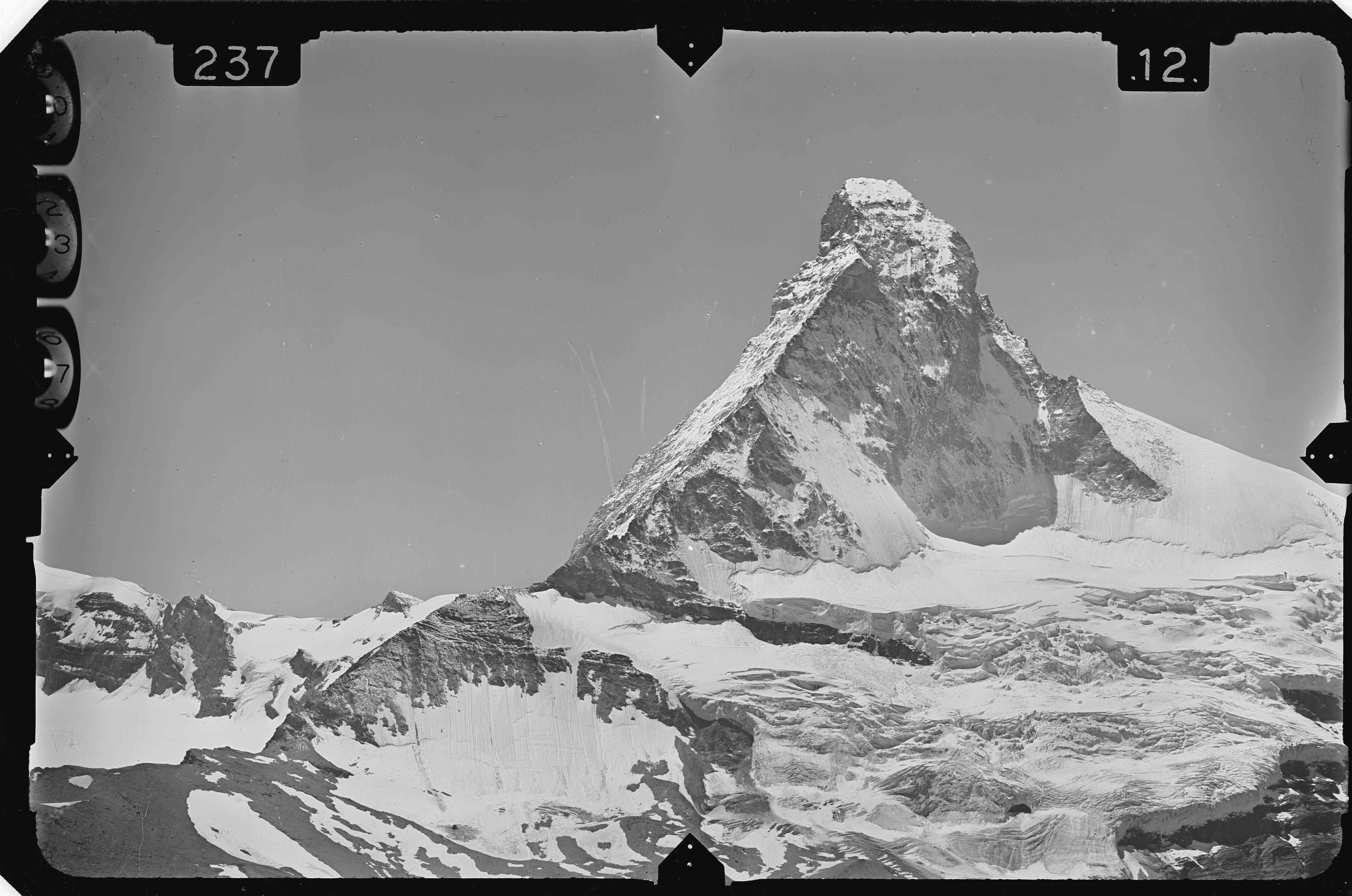
Here, swisstopo topographers used the around 7,000 broadly distributed survey points, measured the position and altitude of each location with the aid of a phototheodolite (combination of surveying instrument and camera), and recorded photographic images on about 58'000 glass plates.
Each station comprised a left-hand and right-hand image point that formed the basis, and the concept was that the parallel images should overlap one another.
Evaluation was carried out in the winter months of the following year. Firstly the co-ordinates and altitude of the image point were calculated, They were then recorded in the photogrammetric evaluation device. With this special equipment it was possible to reconstruct the stereo effect obtained in the field at the time the images were recorded, and thus to topographically evaluate and map the terrain.
Since terrestrial photogrammetry was increasingly replaced by aerial photogrammetry, the points were only surveyed once. The terrestrial images are therefore one of the very few products of swisstopo for which no time series exist.
Federal Office of Topography swisstopo
Seftigenstrasse 264
3084 Wabern