
LTOP
LTOP permet la préanalyse et la compensation de réseaux polygonométriques, de réseaux de triangulation, de réseaux combinant des observations GNSS et des mesures terrestres et, au besoin, de réseaux de nivellement.
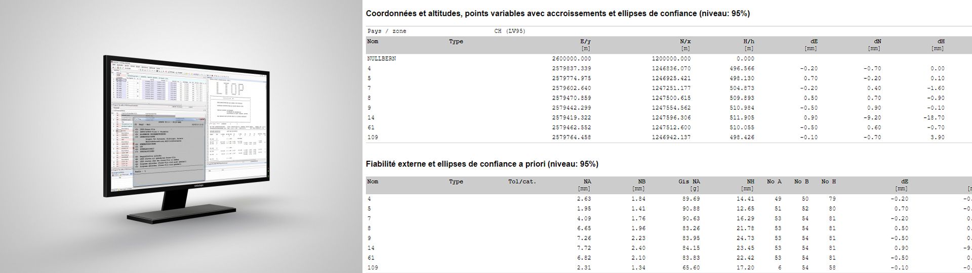
Logiciel de préanalyse et compensation de réseaux géodésiques
LTOP offre de nombreuses possibilités de calcul et des indicateurs pour optimiser la compensation et détecter les fautes ou imprécisions. Les observations peuvent être compensées soit selon le principe des moindres carrés (compensation d'observations médiates), soit selon le principe de la compensation robuste.
Une nouvelle interface graphique a été intégrée à GeoSuite afin de facilité grandement la saisie des paramètres d’un calcul LTOP.
Possibilités et caractéristiques Compensations planimétrique et altimétrique effectuées séparément (2D+1) Compensation libre, avec points connus comme observations (libre ajustée) ou contrainte (définitive) Calcul basé sur des coordonnées planes (projetées) ou des coordonnées géographiques sur un ellipsoïde Jusqu’à 80 groupes différents peuvent être définis aussi bien pour les inconnues d’orientation (directions et gisements) que pour les inconnues d’échelle et d’addition (distances): a-z A-Z 0-9 ! # $ % & * : ; < = > ? @ _ | ~ + - Plusieurs combinaisons de paramètres possibles pour l’intégration de sessions GNSS Justification rigoureuse de la précision et de la fiabilité et tests relatifs à la mensuration officielle Dessin de canevas de réseaux (planimétrie et/ou altimétrie)
Informations complémentaires
Liens
GeoSuite (LTOP/REFRAME/TRANSINT)
BSD 3-Clause License
Copyright © 2025, swisstopo. All rights reserved.
Redistribution and use in source and binary forms, with or without modification, are permitted provided that the following conditions are met:
- Redistributions of source code must retain the above copyright notice, this list of conditions and the following disclaimer.
- Redistributions in binary form must reproduce the above copyright notice, this list of conditions and the following disclaimer in the documentation and/or other materials provided with the distribution.
- Neither the name of the copyright holder nor the names of its contributors may be used to endorse or promote products derived from this software without specific prior written permission.
THIS SOFTWARE IS PROVIDED BY THE COPYRIGHT HOLDERS AND CONTRIBUTORS «AS IS» AND ANY EXPRESS OR IMPLIED WARRANTIES, INCLUDING, BUT NOT LIMITED TO, THE IMPLIED WARRANTIES OF MERCHANTABILITY AND FITNESS FOR A PARTICULAR PURPOSE ARE DISCLAIMED. IN NO EVENT SHALL THE COPYRIGHT HOLDER OR CONTRIBUTORS BE LIABLE FOR ANY DIRECT, INDIRECT, INCIDENTAL, SPECIAL, EXEMPLARY, OR CONSEQUENTIAL DAMAGES (INCLUDING, BUT NOT LIMITED TO, PROCUREMENT OF SUBSTITUTE GOODS OR SERVICES; LOSS OF USE, DATA, OR PROFITS; OR BUSINESS INTERRUPTION) HOWEVER CAUSED AND ON ANY THEORY OF LIABILITY, WHETHER IN CONTRACT, STRICT LIABILITY, OR TORT (INCLUDING NEGLIGENCE OR OTHERWISE) ARISING IN ANY WAY OUT OF THE USE OF THIS SOFTWARE, EVEN IF ADVISED OF THE POSSIBILITY OF SUCH DAMAGE.
Applications - Download
LTOP
Programme d'installation complet - Version 99.6 pour Windows (version Linux sur demande)
Table des matières
Office fédéral de topographieswisstopo
Seftigenstrasse 264
3084 Wabern