
A journey through time – maps and aerial photographs
Take a journey through time with swisstopo’s historical maps and aerial photographs and get to know Switzerland from the past and the present.
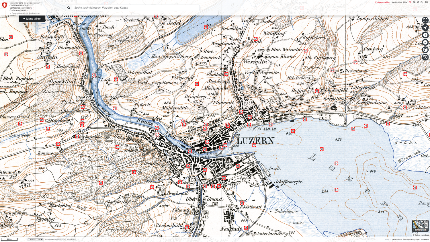
The long chronological series of topographical maps and aerial photographs impressively document the development of the landscape and settlement in Switzerland. swisstopo has carefully restored and digitised this national treasure and makes it available to the general public online.
180 years of transforming landscapes
The first map dates back to the year 1844. Immerse yourself in the 180-year history of Swiss maps and familiarise yourself with works such as the historical Dufour and Siegfried maps. Today, swisstopo provides access to approximately 8,000 sheets of historical maps. The collection has been carefully restored and digitised. On the virtual journey through time, you will notice how the landscape has changed over the course of time. This allows you to make comparisons between different time periods.
To the journey through time - maps
Switzerland from the air
The aerial photographs of swisstopo are a valuable addition. The collection consists of snapshots of the landscape since the 1920s. You can also view a seamless mosaic dating from 1926 through to the present. The aerial photographs from 1946 are another interesting element as they were taken during the «US flight mission» in record time over the course of a few months. These images are also available as a mosaic.
Discover Switzerland from the past and the present!
To the Journey through time – aerial images
You can also explore the journey through time using the free swisstopo app.
Seftigenstrasse 264
3084 Wabern