
Customised aerial and satellite images
The Federal Office of Topography swisstopo has been producing series of aerial images of the entire country for almost 100 years, and is also the official operator of the national point of contact for satellite images. In addition to its standard products, swisstopo also provides other services relating to image data.
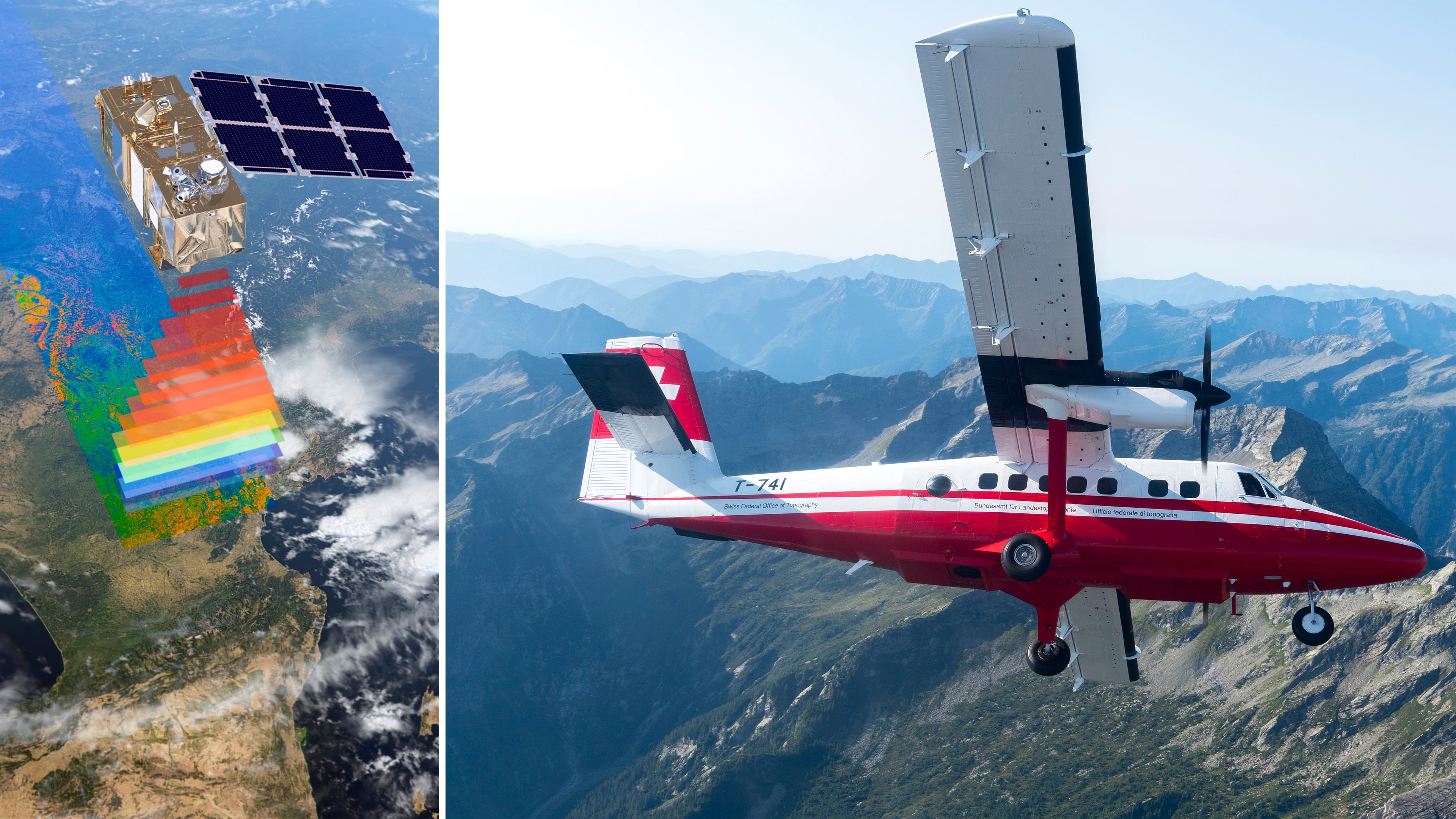
Photographs are unique «contemporary witnesses» that document the status of a landscape or region at a specific point in time. Aerial and satellite images are ideal large-scale information sources and form a valuable basis for the implementation of a broad variety of projects. Image data are especially useful for documenting changes in the landscape, as well as for producing observation series or for use as a planning instrument. swisstopo provides customised aerial images upon request, and also supports the acquisition and further processing of satellite images.
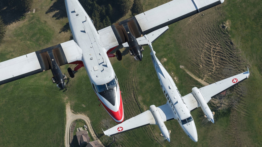
Flight service
Flying is carried out in collaboration with the Swiss Air Force. The Aerial Photography flight service plans and coordinates all flying requirements.

Satellite images
Through the National Point of Contact for Satellite Images (NPOC), customers can purchase high-quality satellite images from around the world. On customer’s demand, the NPOC obtains new images or provides suitable products from existing archives. During the entire processing of the order, specialists are at the disposal of the customer to give advice.
Seftigenstrasse 264
3084 Wabern