
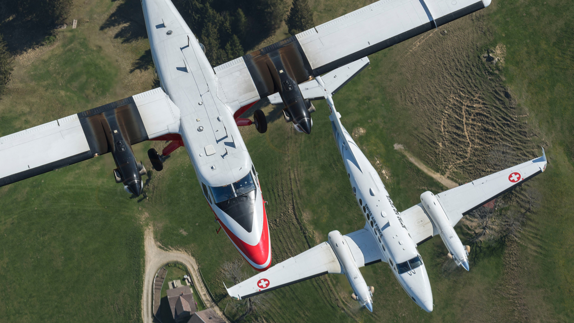
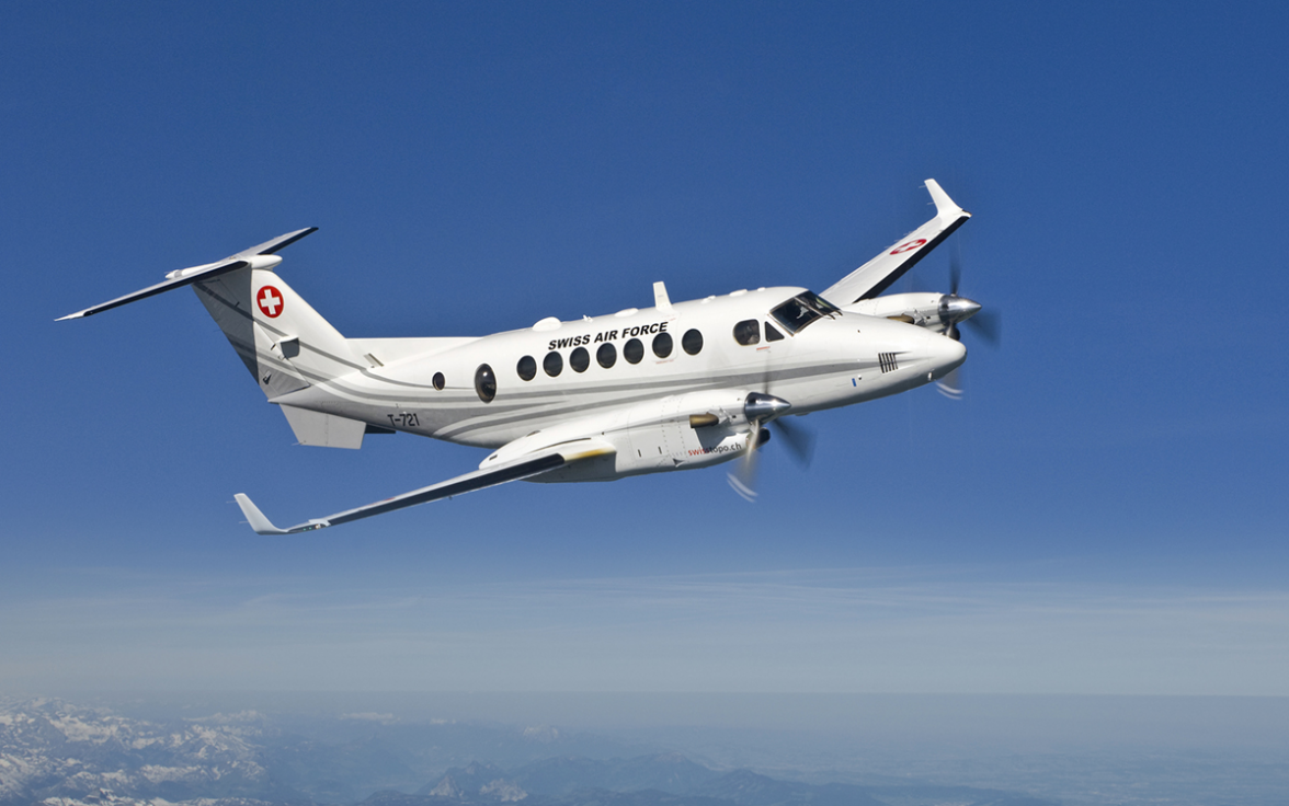
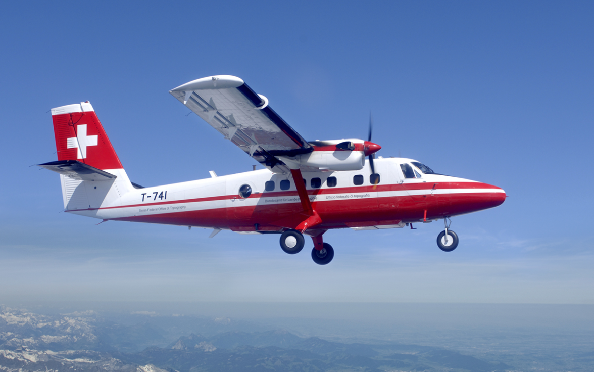
Flight service
Flying is carried out in collaboration with the Swiss Air Force. The Aerial Photography flight service plans and coordinates all flying requirements.
Aerial photography is made for the following purposes:
- updating the Topographic Landscape Model (TLM) and the national maps
- the orthophoto mosaic (SWISSIMAGE)
- orders from the Federal Administration, cantons and privates
The assignments include aerial photography flights to fulfill the task and responsibilities mandate of swisstopo, the task fulfillment of other federal offices (FOEN, FSO, FOCA, etc.), aerial photography flights in disaster response (Rapid Mapping), aerial photography flights for environmental and glacier monitoring, and aerial photography flights on behalf of Swiss intelligence services.
More information about the acquisition of aerial images strips at swisstopo.
Our equipment
Index of aerial photographs
Aerial photographs of Switzerland are collected and published by the cantons or third parties in the context of various projects. The existence of these aerial images can be communicated to swisstopo, which manages the aerial image index. The following information must be provided to swisstopo: the coordinates of the centre of the image, the area covered by the image (footprint) as well as metadata and contact information. This information (detailed in the document "LUBIS Data Delivery Guidelines") should be sent by e-mail to geodata@swisstopo.ch. Aerial images can be ordered from the cantons concerned.
Guidelines and sample data
Seftigenstrasse 264
3084 Wabern