
Aeronautical Maps
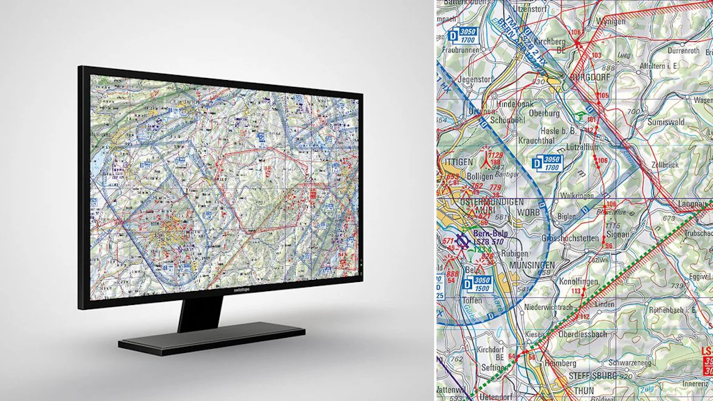
Swiss aeronautical maps with airports, airfields, airspaces, restricted and hazardous zones as well as air safety information.
Order the aeronautical maps as printed version
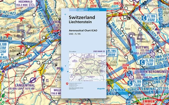
Order the Aeronautical Chart ICAO Switzerland 1:500'000
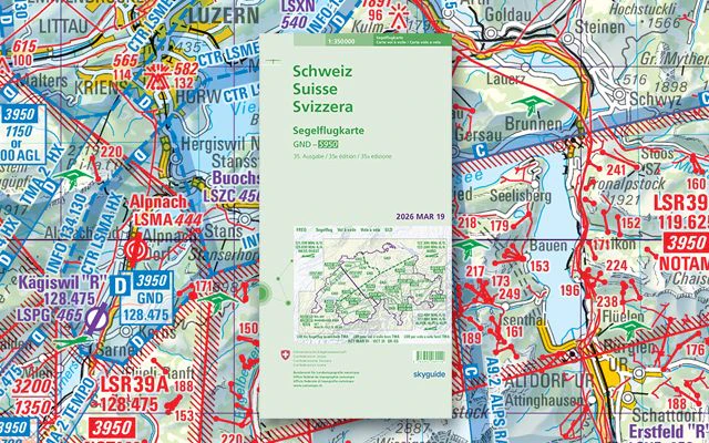
Order the Glider Map Switzerland 1:350'000
View the aeronautical maps online
View the aeronautical maps in the map.geo.admin.ch viewer
swisstopo app for aviation fans

Plan your flights with the swisstopo App
Download the aeronautical maps or use it as a geoservice
Index

Digital Aeronautical Chart ICAO
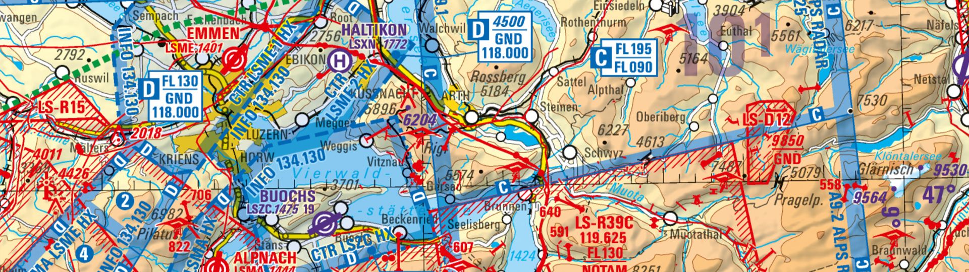
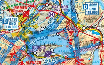
The official 1:500'000 aeronautical map of Switzerland depicts the locations of airports and airfields, air space, restricted and danger zones, plus air traffic control information for Switzerland and its neighbouring countries.
Digital Glider Map
Aeronautical map of Switzerland containing specific air traffic control information for gliders.
Map reading
The brochure “Map reading” and the explanation of symbols provide useful information for users of the national maps and for teaching purposes.
You can order the brochure in paper form here: Map reading | swisstopo Online Shop
Federal Office of Topography swisstopo
Seftigenstrasse 264
3084 Wabern