
Augmented and Virtual Reality
Augmented (AR) and virtual reality (VR) technologies are special forms of 3D visualizations. They are being used more and more frequently and are becoming slowly established in daily life. With its 3D geodata, swisstopo offers useful data for the creation of such applications.
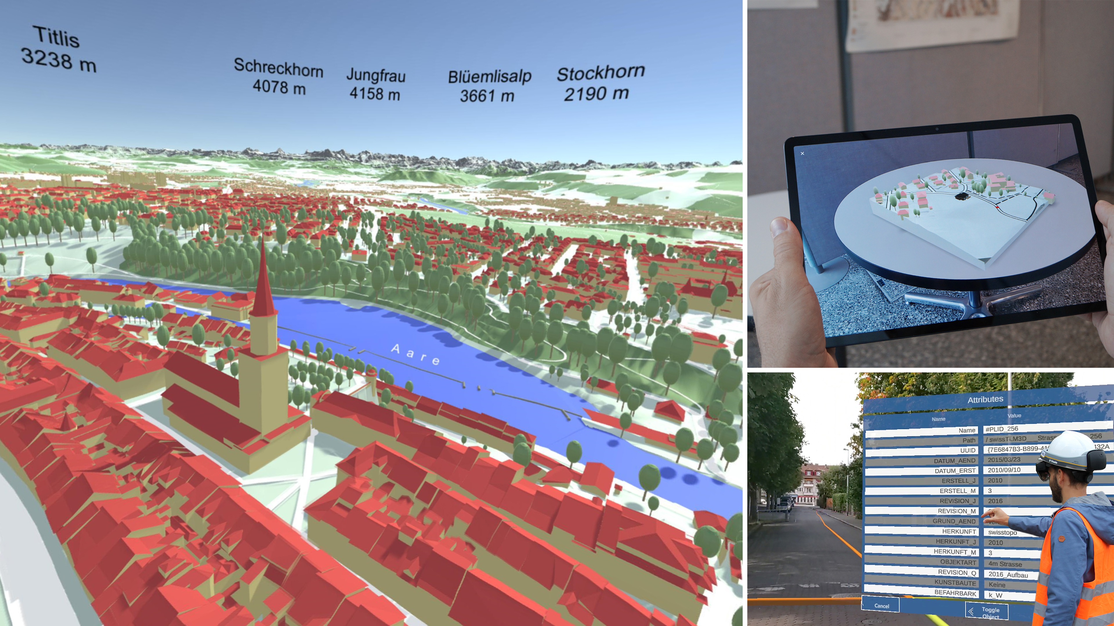

Augmented Reality
Geodata and Augmented Reality (AR) are ideally suited! AR transforms invisible geodata into visible information and allows virtual 3D models to be experienced anew in the real environment. swisstopo geodata products and services provide an optimal basis for AR applications.

Virtual Reality
With the swisstopo VR app, anyone interested can virtually visit eight sites in Switzerland. The 3D visualisations in the app were prepared using geodata from swisstopo.
Federal Office of Topography swisstopo
Topography - Geodata Distribution
Seftigenstrasse 264
3084 Wabern
Seftigenstrasse 264
3084 Wabern