
Diversity between the lines: Exploring Switzerland’s borders and boundaries
National Maps are more than just practical tools for orientation. They reflect our world and make national borders and local boundaries visible - from the global level down to local details. In Switzerland, there are many beautiful hiking areas close to the borders.

Travelling near borders? Oliver and Elisa hike across borders. They show you how to plan a hike near our neighbouring countries and what to pay attention to.
National borders
Switzerland’s national border is more than just a geographical line – it is defined with great precision and delineates Switzerland’s territory. It extends across 1,935 kilometres and borders Germany, France, Italy, Austria, and Liechtenstein.

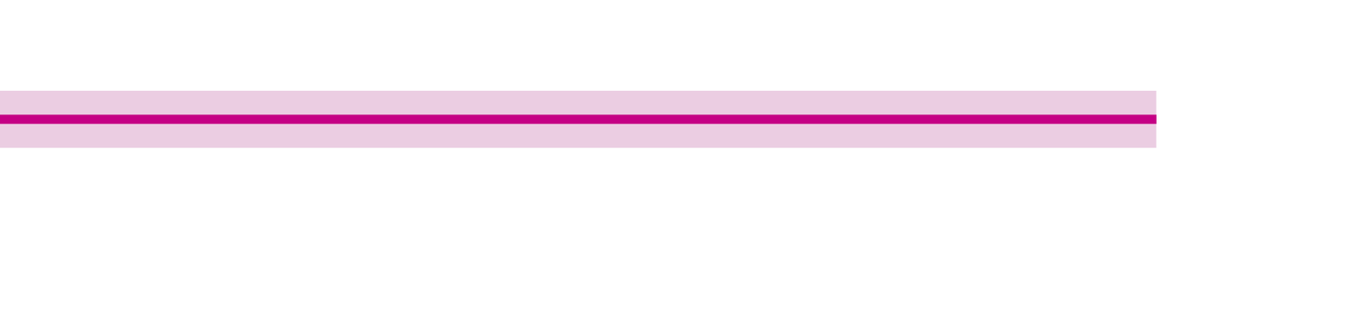
On maps, this border is represented by a boundary band with a magenta boundary line. In addition, the boundary stones that mark the border in the field are depicted.

The national borders between Switzerland’s neighbouring countries are represented similarly. The boundary band is equally thick, but the boundary line is shown in the middle of it.
Cantonal, district and municipal boundaries
Switzerland’s 26 cantons, more than one hundred districts, and all the municipalities are also represented with boundary lines on the Swiss national maps.
Switzerland’s 26 cantons are depicted on the national map by a narrow boundary band and a central boundary line.

Districts are administrative entities that are hierarchically positioned between cantons and municipalities. On the map, they are represented with a narrow boundary band.

On the large-scale national maps, the individual municipalities are depicted with a discontinuous, narrow band.

The boundary of the Swiss national park is also depicted. On the map, it is shown as a green boundary band and boundary line.
You can find more information about national borders here: National border
Did you know that borders sometimes change? Every year, some municipalities in Switzerland merge. It also happens that entire towns or municipalities change cantons. For example, the municipality of Moutier decided to switch from the Canton of Bern to the Canton of Jura starting in 2026. You'll find more informations here: Letzter Schritt zur Lösung der Jurafrage (Only in German, French or English). But the national border sometimes changes too. For instance, the border between Switzerland and Italy has shifted in the Zermatt region due to glacier melting: National border: Changing the borders. The two countries have agreed on the new border in joint negotiations and concluded a corresponding agreement. Der Bundesrat genehmigt die Unterzeichnung des Grenzbereinigungsabkommens mit Italien (Only in German, French or English)
If you would like to learn more about exciting topics related to the national maps, you can find further interesting blog posts here: Map reading made easy
Map reading is in!
Being able to read maps is not just a useful skill for outdoor enthusiasts, it's helpful when planning a trip, too. With a bit of practice and the right information, you can organise your trips even better and impress your friends with your expertise. What's more, our famed Swiss national maps are among the most detailed and precise in the world. By the way: it does not matter whether you use swisstopo maps on your smartphone or on paper, as the key is always the same.
Want to learn more? You can find more information in the signs and symbols list (also known as a key) for all swisstopo maps: Map reading | swisstopo online shop
Federal Office of Topography swisstopo
Seftigenstrasse 264
3084 Wabern