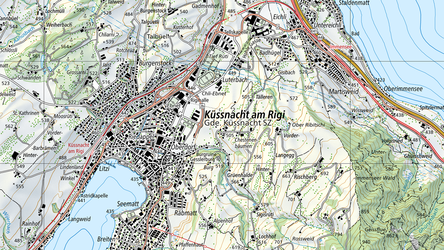
Map reading made easy
In the series «Map reading made easy», discover the most important signs, symbols and tips for getting the most out of maps and making use of them in your adventures. Familiarise yourself with the legends of the National Maps and become an expert in navigation.

Map accessories
Useful aids that make map reading easy. The leaflets «Conventional signs» and «Map reading» offer interesting facts for national map users and lessons.
Accessories
Make the most of your bike tour with the national map
A bike tour combines sport, recreation, and relaxation all in one. Discover how to plan a varied route from Murten up to Mont Vully. The journey takes you along the lake and through the state forest of Chablais, passing vineyards along the way.Discover how national maps can help keep your bike tour stress-free and free of unwelcome surprises.

Discover the ideal dog walk with the national map
A walk with your dog offers not only fresh air and exercise but also a wonderful chance to explore your surroundings more deeply. Using swisstopo’s national maps, every excursion can be perfectly planned. By understanding map reading and its symbols, you can visualise the terrain in detail before setting off. In this post, discover which key symbols will help you plan the ideal dog-friendly adventure.

Diversity between the lines: Exploring Switzerland’s borders and boundaries
National Maps are more than just practical tools for orientation. They reflect our world and make national borders and local boundaries visible - from the global level down to local details. In Switzerland, there are many beautiful hiking areas close to the borders.

Hidden details in maps: lake depths
If you take a close look at Switzerland’s topographic maps, you will discover some exciting details – even beneath the water’s surface. The blue contour lines in lakes tell stories of hidden depths and sometimes of human interaction with nature too.

Cableway or on foot – the right way into the mountains
Planning a mountain hike? Cable cars provide a comfortable way to gain altitude while saving your energy for the adventures ahead. Whether you prefer a relaxed walk on a hiking trail, a more demanding mountain trek, or—for the bold and well-equipped—an alpine hike or via ferrata, there’s something for everyone. Learn how to plan the perfect route for your needs.

Never get lost again with the correct map orientation
You’ve acquired a national map and are ready for your next outdoor adventure. But how do you hold the map correctly to best get your bearings in terrain? This guide explains how to align your map perfectly, ensuring you always know where to go.

Contour lines: The enigma of terrain profiles
Just imagine yourself surrounded by breathtaking mountain scenery, holding a hiking map as you plan your route to the next mountain hut. While the trail to the hut is marked on the map, you can’t spot it out from your current position.In this blog post, learn how to read contour lines, calculate differences in altitude, and to identify mountains, valleys, and hills. Become an orientation expert!

How much time should I allow for my route?
Even experienced hikers are familiar with this issue: you've planned a hike and estimated the route and terrain, but time passes more quickly than you had anticipated. Good time management is vital when hiking in order not to miss the last train or get back after night has fallen.

The difference between roads and tracks
National maps feature various types of paths – not all are suitable for every adventure. Learn how to identify and distinguish roads and paths on a map to choose the best route for your hike.We have produced a short video about this. A young couple plans their hike using a swisstopo national map. Watch how they use the symbols for roads and tracks to plan their excursion perfectly.
Federal Office of Topography swisstopo
Seftigenstrasse 264
3084 Wabern


