
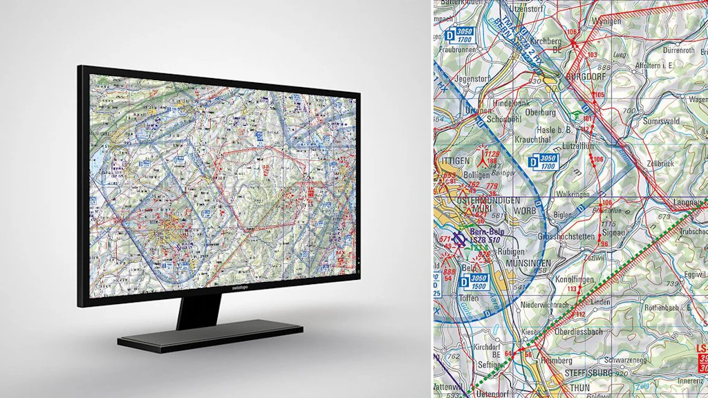
Digital Aeronautical Maps
Swiss aeronautical maps with airports, airfields, airspaces, restricted and hazardous zones as well as air safety information.
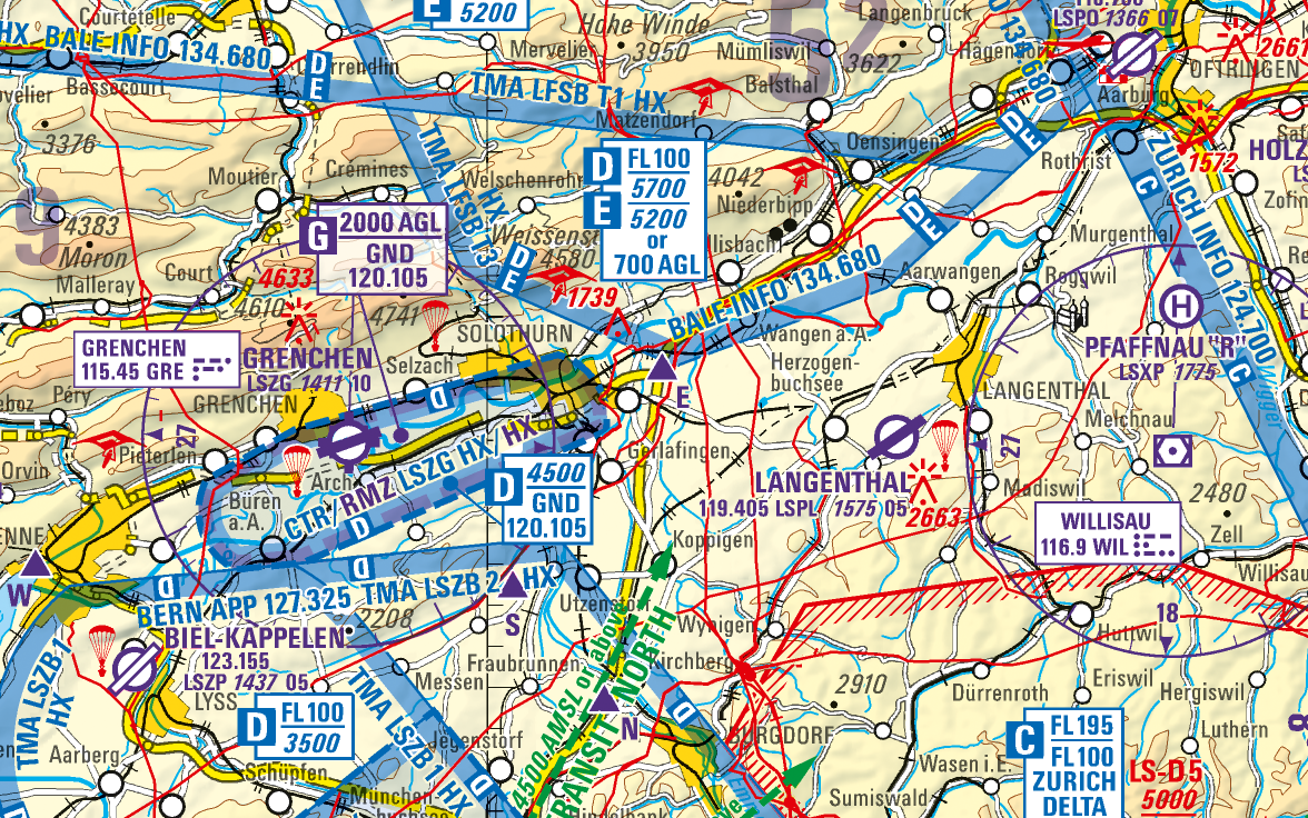

Digital Aeronautical Chart ICAO
The official 1:500'000 aeronautical map of Switzerland depicts the locations of airports and airfields, air space, restricted and danger zones, plus air traffic control information for Switzerland and its neighbouring countries.
Digital Glider Map
Aeronautical map of Switzerland containing specific air traffic control information for gliders.
Federal Office of Topography swisstopo
Topography - Geodata Distribution
Seftigenstrasse 264
3084 Wabern
Seftigenstrasse 264
3084 Wabern