
GeoMaps 500
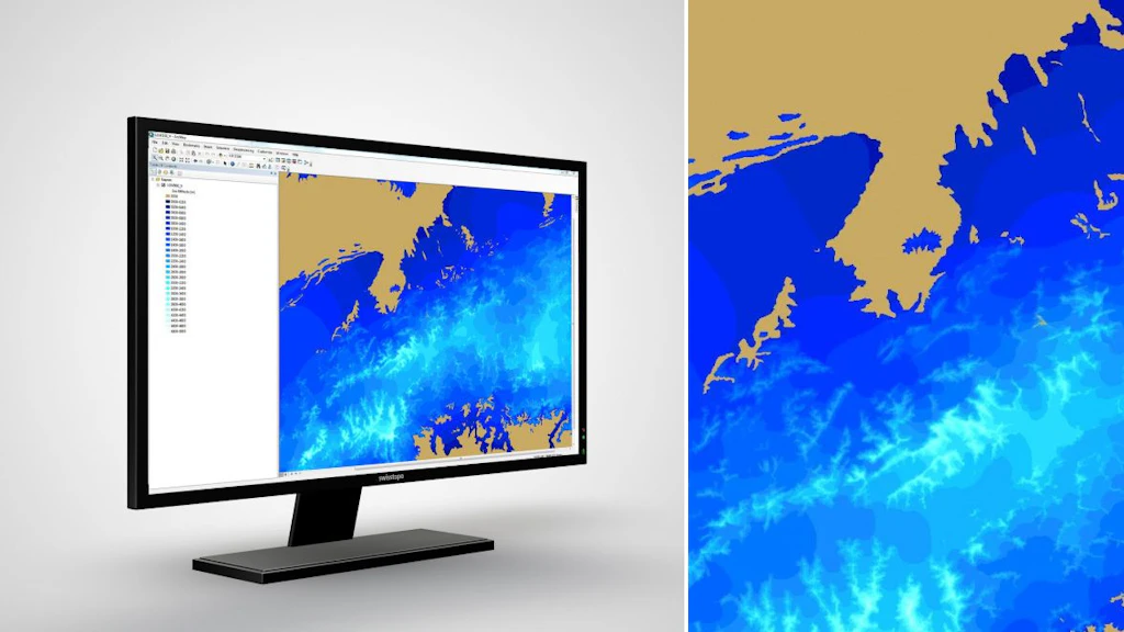
The GeoMaps 500 are a series of geological, tectonic, hydrogeological, geophysical and palaeoglaciological overview maps of Switzerland at a scale of 1:500'000.
Order the GeoMaps 500 as printed version
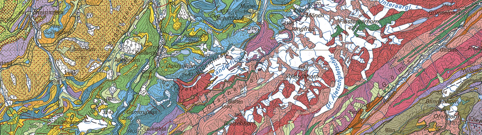
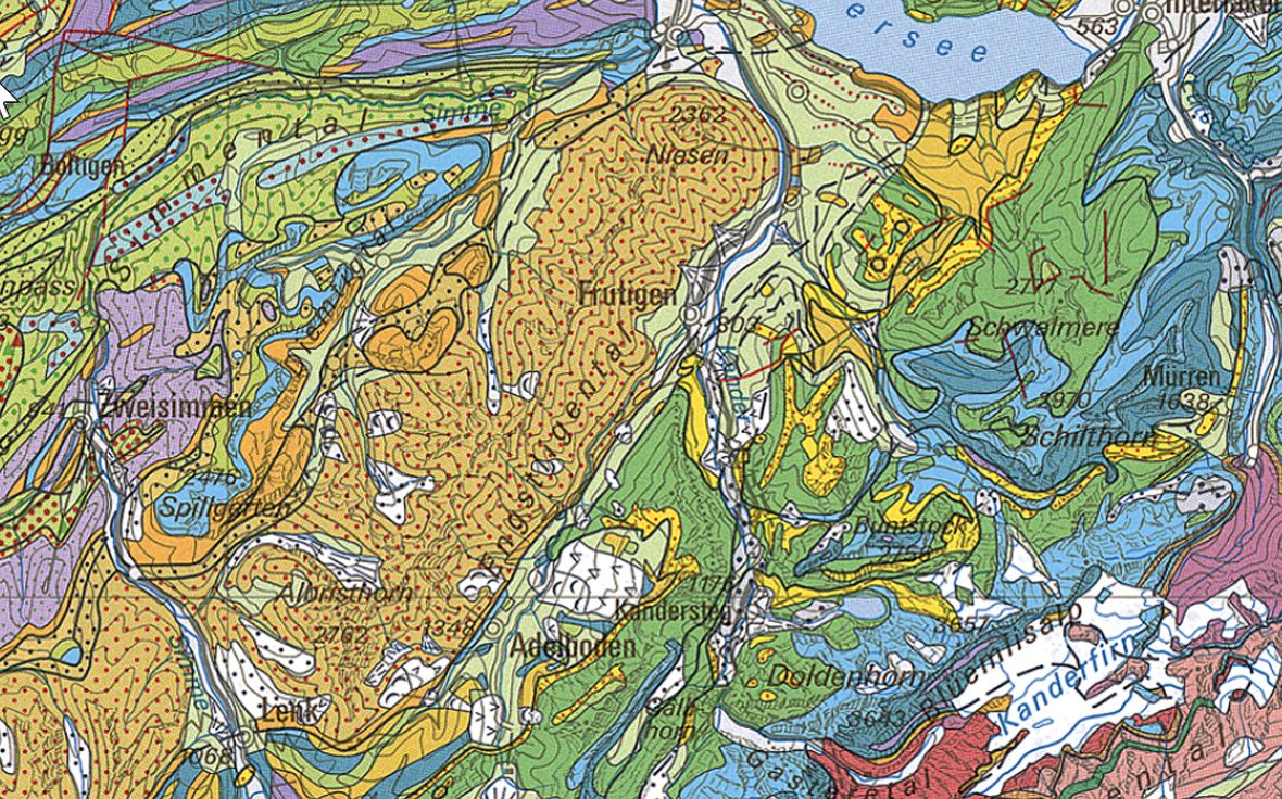
Geological Map of Switzerland
Tectonic Map of Switzerland
Hydrogeological Maps of Switzerland – Groundwater resources
Hydrogeological Maps of Switzerland – Vulnerability of Groundwater Resources
Gravimetric Map of Switzerland – Bouguer Anomalies
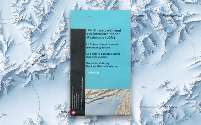
Map of «Switzerland during the Last Glacial Maximum (LGM)»
Tectonic Map of Switzerland
Hydrogeological Maps of Switzerland – Groundwater resources
Hydrogeological Maps of Switzerland – Vulnerability of Groundwater Resources
Gravimetric Map of Switzerland – Bouguer Anomalies
Map of «Switzerland during the Last Glacial Maximum (LGM)»
View the GeoMaps 500 online
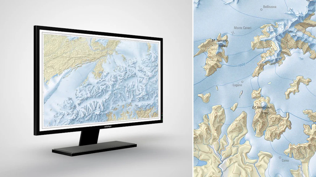
Discover the swisstopo maps and geodata conveniently on your screen. Measure distances and areas, compare current and historical aerial photos or add a drawing. You can print out the result or share it with your friends.
View the GeoMaps 500 in the map.geo.admin.ch viewer
Download the GeoMaps 500 or use it as a geoservice
Index
GeoMaps 500 Pixel
The GeoMaps 500 are a series of geological, tectonic, hydrogeological, geophysical and palaeoglaciological overview maps of Switzerland at a scale of 1:500'000.
GeoMaps 500 Vector
The GeoMaps 500 are a series of geological, tectonic, hydrogeological, geophysical and palaeoglaciological overview maps of Switzerland at a scale of 1:500'000.
Federal Office of Topography swisstopo
Division Swiss Geological Survey
Seftigenstrasse 264
3084 Wabern
Seftigenstrasse 264
3084 Wabern