
Historical Maps
Get to know Switzerland's historical heritage with the original Siegfried and Dufour maps or old national maps; or visualised impressively on modern maps, too.
Journey through time with combined cards

Travel back in time with swisstopo's historical maps and discover Switzerland yesterday and today.
Journey through time with the national map 1:25'000

From 1952 to the present day, the Federal Office of Topography has reproduced Switzerland on 247 map sheets at a scale of 1:25'000 in several editions. View the changes in the territory in the different editions of this map directly in our map portal.
Journey through time with the national map 1:50'000

From 1938 to the present day, the Federal Office of Topography has reproduced Switzerland on 78 map sheets at a scale of 1:50'000 in several editions. View the changes in the territory in the different editions of this map directly in our map portal.
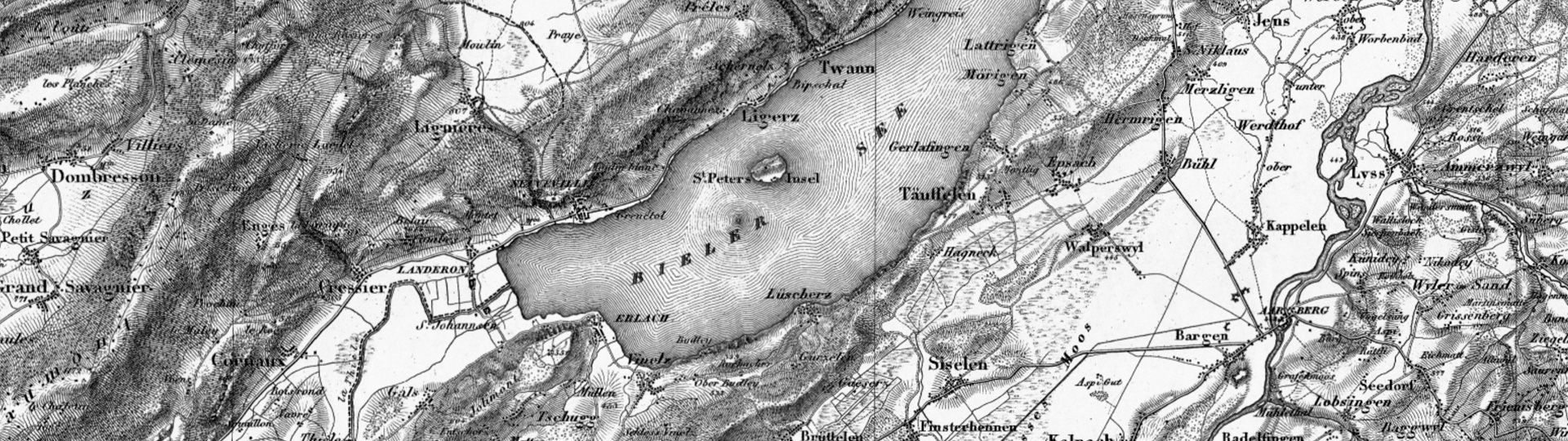
Journey through time with the Siegfried Map

From 1870 to 1949, the Topographical Atlas of Switzerland, or Siegfried Map, was the first comprehensive work on Switzerland. The atlas comprises 462 sheets at a scale of 1:25'000 and 142 sheets at a scale of 1:50'000. View the changes to the territory in the different editions of this map directly in our map portal.
Order a facsimile of the Dufour Map
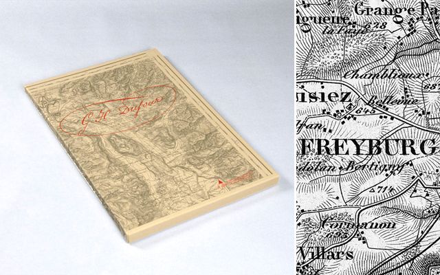
In 1988, the Federal Office of Topography reproduced the 25 sheets of the first edition of the Dufour Map as true-to-original offset prints. The maps are available as individual sheets (folded or unfolded) or as a set in a cardboard box.
Order the facsimile of the Dufour Map
Historical Maps
Index

Digital Dufour Map
The Topographical Map 1:100'000 (Dufour Map) is the first modern official map series of Switzerland.

Digital Siegfried Map
The Siegfried Map was the first set of 1:25'000 and 1:50'000 maps of the whole of Switzerland.

Digital Old National Maps
Georeferenced old National Map 1:25'000 / 1:50'000 / 1:100'000
Federal Office of Topography swisstopo
Topography - Geodata Distribution
Seftigenstrasse 264
3084 Wabern
Seftigenstrasse 264
3084 Wabern