
National Map
The national maps of Switzerland that are in use today are based on the provisions of the legislation dating from 1935. These maps were implemented at varying scales and subsequently replaced the Dufour and Siegfried maps and their supplements.
Introduction
The shortcomings of the existing sets of national maps were already becoming increasingly apparent towards the end of the 19th century: heterogeneous appearance, non-uniform data, outdated depictions of terrain using shading (Dufour Map), limited coverage of the 1:25,000 / 1:50,000 scales (Siegfried Map). In the first half of the 20th century, the Federal Office of Topography examined new forms of depiction with a large number of trial maps. After 1927, the debate on the production of a new series of national maps intensified under Eduard Imhof, Professor of Cartography at the Swiss Federal Institute of Technology, Zurich.
Legal bases
The federal legislation dated 21 June 1935 governing the production of new national maps was adopted after a period Imhof referred to as the “seven-year map war”. In the plan dated 9 December 1936 concerning the production of new national maps, the Federal Military Department ordered the implementation of the main technical and organisational measures for replacing the Dufour and Siegfried maps with six new mutually supplementing sets of national maps in scales ranging from 1:25,000 to 1:1,000,000. These sets are divided into a series of topographic maps (LK25, LK50 and LK100) and a series of geographic maps (LK200, LK500 and LK1000) depicting Switzerland and its borders with neighbouring countries. In mid-2008, the Federal Geoinformation Act of 5 October 2007 entered into force and provided the national map series with a new legal basis.
Geodetic bases
One of the main arguments in favour of a new national map was the updating of the official survey in Switzerland with the CH1903 reference system at the beginning of the 20th century. This move saw the introduction of the oblique conformal cylinder projection (now called “Swiss Grid”), and the altitude of the “Repère Pierre du Niton” in the port of Geneva was defined as reference point for the LN02 national levelling network at 373.6 metres.
Topographic basis
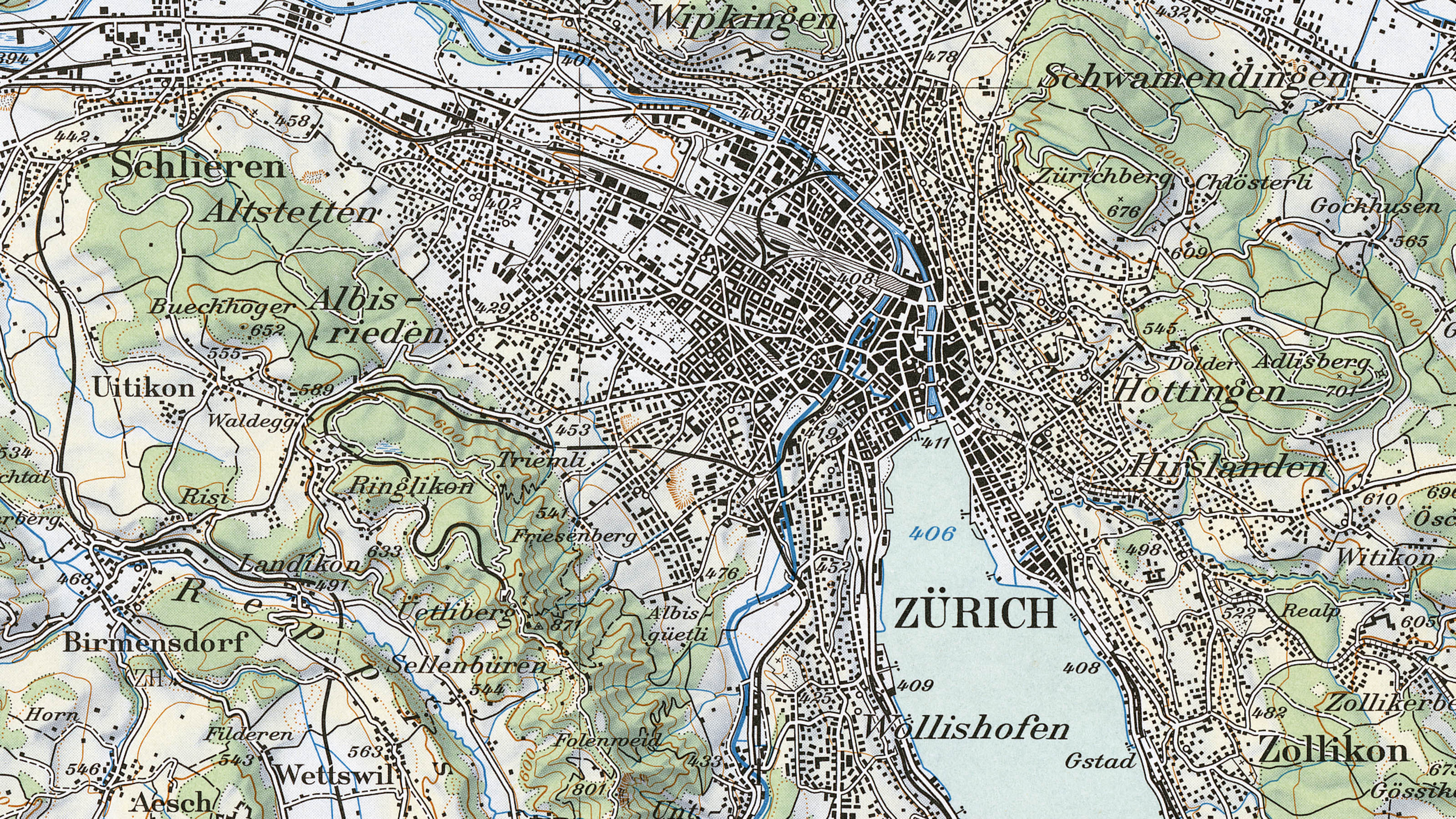
In 1912, the Swiss Civil Code created the basis for comprehensive cadastral surveying (also referred to as “official surveying”). The federal government acted solely as supervisory authority, but participated to a large extent in the production of the 1:5,000 / 1:10,000 survey plans in order to make use of these cantonal works as the topographic basis for a new series of national maps. The aim behind the 1:25,000 national map was to achieve as comprehensive a cartographic depiction as possible of the content of the original survey plans.
In the mid-1930s, in view of the increasing tensions in the global political arena, priority was attached to the production of the 1:50,000 national map, work on which was initiated immediately in the region of the Alps. The region’s topographic data were collected by the Federal Office of Topography using terrestrial photogrammetry, largely via the 1:10,000 fortification maps. When comparing map sets of different scales, it is thus important to note that the apparently homogeneous appearance of the map conceals its heterogeneous sources.
The original survey plans were photographically reduced to the scale of 1:10,000 and a mosaic was created by piecewise transferring municipalities onto a “correctostat plate” of practically distortion-free aluminium layered with paper. Based on this, editorial work was carried out in the field. The correctostat plates were photographically reduced again to the required scale of 1:25,000 and copied onto glass as a blueprint.
Division into sheets
The division criteria specified by Dufour were adopted. As a result, a sheet of LK100 covers an area of 70 by 48 kilometres. Each LK100 sheet covers four sheets of LK50, of which in turn each covers four sheets of LK25. The sheet numbers for LK25 are four-digit, for LK50 three-digit and for LK100 two-digit. To the east of the coordinate kilometre 830 the sheets bear the suffix “-bis”.
Chronology of national map production
Updating
For the updating of the national map, the 1936 production plan called for the current status of cadastral surveys to be taken into account. However, this method proved to be impractical for a variety of reasons. Therefore, it was decided to introduce a 6-year updating cycle in 1968, while the production of the first edition of LK25 was still in full swing. The geometry of the updating elements was calculated with the aid of aerophotogrammetry, while the stereo models in the analogue evaluation devices were integrated directly into LK25 (updating scale), and from approximately 1993 onwards on analytical plotters into non-signalled but distinct triangulation points (church steeples, etc.). Each evaluation was then verified directly on location. LK50, LK100, etc. (subsequent scale maps) were updated using editorial processes.
Reproduction
Cartographic reproduction was carried out using layer engraving on glass. The chemical composition of the layer was developed by personnel of the Federal Office of Topography. Following successful tests that were initiated in 1989 (sheet 1168, Langnau and sheet 1072, Winterthur), from 1996 onwards map production was successively transferred to CAD systems using special software. For this purpose, all films had to be scanned, and this meant that from 1992 onwards it was also possible to offer national map sheets in digital form (pixel maps). Printing of maps on paper was carried out using the offset process.
Accuracy
Generally speaking, an accuracy range of 0.1 to 0.3 millimetres may be assumed for the national map (which in reality is equivalent to 2.5 to 7.5 metres for LK25, 5 to 15 metres for LK50, etc.). Thanks to the production process (derivation of data at a larger scale), topographic errors are no longer of any significance. A distortion analysis of a section of LK25 covering 16 square kilometres, for which large-scale official surveying data were used, indicated a mean deviation of 4.1 metres at more than 270 control points, thus confirming the above figures.

Modernisation of the National Maps
Between 2001 and 2021, swisstopo fundamentally modernised the production and appearance of the Swiss national maps. Find out here what this modernisation entails and why it is so important for the future of Swiss geodata.
Federal Office of Topography swisstopo
Seftigenstrasse 264
3084 Wabern