New Utility Cadastre for Secure Supply and Waste Disposal Networks
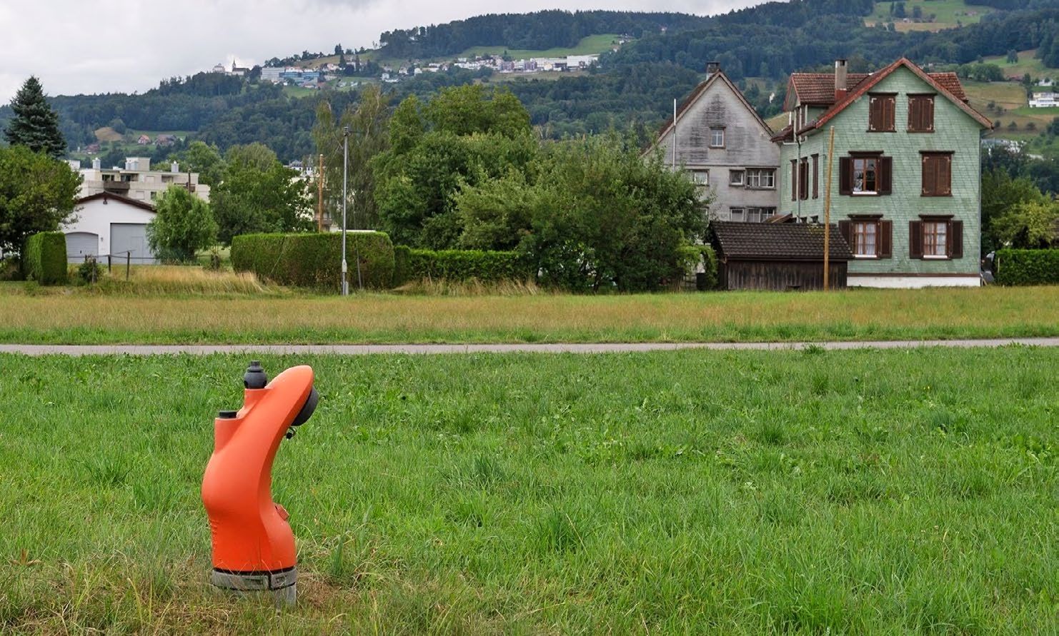
Under the ground, there is a dense network of pipes and cables. Until now, there has been no harmonised national database of these: supply and waste disposal networks in Switzerland are not uniformly documented and the relevant information is accessible to varying degrees. This makes planning work more difficult and increases the risk of damage to underground infrastructure.
For this reason, the Federal Council wishes to create a national utility cadastre. The aim of this register will be to record all infrastructure above and below ground and provide all stakeholders with a centralised register containing precise spatial data. This should improve the planning of future construction projects and the assessment of risks. swisstopo is in charge of developing the new register in close cooperation with the cantons, municipalities and network operators.
The cantons and swisstopo will integrate the data and ensure its reliability, while the network operators will be responsible for keeping them up to date. The utility cadastre will play a key role in providing the population with a safe supply of water, electricity, natural gas, heat and telecommunications, as well as ensuring waste water disposal.
Additional content
The Swiss cadastral system – the invisible foundation of our land ownership
The Swiss cadastral system provides clarity: it protects land ownership, creates transparency and guarantees legal certainty – a one-of-a-kind model worldwide.
Leitungskataster Schweiz (available in German, French or Italian)
Im Untergrund der Schweiz stecken Werte in Milliardenhöhe: die Infrastrukturen für Wasser, Abwasser, Gas, Elektrizität, Kommunikation, Fernwärme sowie weitere Leitungen. In einem so dicht besiedelten und genutzten Land wie der Schweiz ist es sinnvoll, dass die Nutzung des Untergrundes dokumentiert wird. Zu diesem Zweck wird ein Leitungskataster Schweiz aufgebaut.
Folio 2025 – For a safe Switzerland
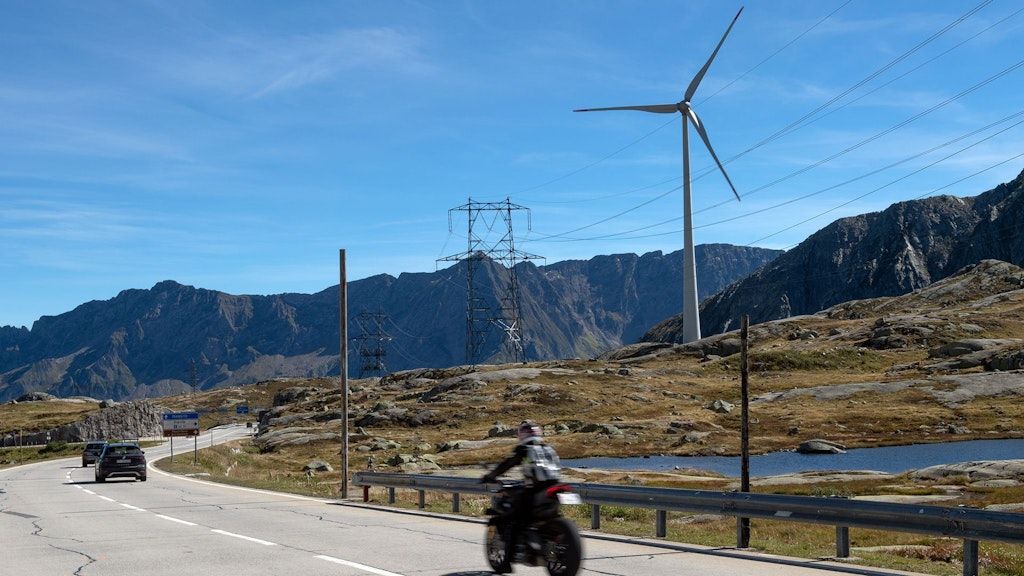
Security extends far beyond the military sphere. It encompasses issues such as the prevention of natural hazards, the sustainable management and supply of resources, the protection of property rights, the stability of infrastructure and the provision of information to the public. Geodata plays a key role in all these areas.