
Orthoimages
Images of swisstopo are an instant view of the landscape, taken from the ground, airplanes or from satellites. These survey photographs allow for geometrically high precision processing.
Journey through time with the aerial images

To the journey through time with the aerial images!
Orthoimages
Index

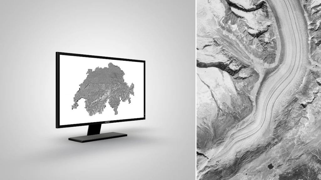
SWISSIMAGE
The orthophoto mosaic SWISSIMAGE 10 cm is a composition of new digital color aerial photographs over the whole of Switzerland with a ground resolution of 10 cm in the plain areas and main alpine valleys and 25 cm over the Alps. It is updated in a cycle of 3 years.
SWISSIMAGE HIST
The orthophoto mosaic SWISSIMAGE HIST is a composition of historical (before 1998) black and white aerial photographs over the whole of Switzerland with a ground resolution of 50 cm.

SWISSIMAGE HIST 1946
The orthophoto mosaic SWISSIMAGE HIST 1946 «US flight mission» is a composition of historical black and white aerial photographs from 1946 over the whole of Switzerland with a ground resolution of 1m.

SWISSIMAGE RS
SWISSIMAGE RS contains an unequalled wealth of information in our “image” product range for the years between 2005 and 2025. Bringing together the 4 spectral bands: near infrared, red, green and blue, these orthophotos provide basic data for many professional applications.
Federal Office of Topography swisstopo
Seftigenstrasse 264
3084 Wabern