
swissEO VHI
The Vegetation Health Index (VHI) shows the current health status of vegetation as observed by satellites.
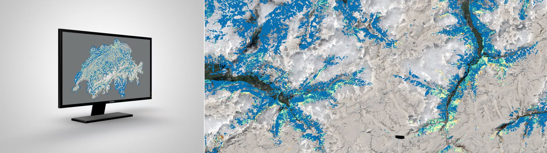
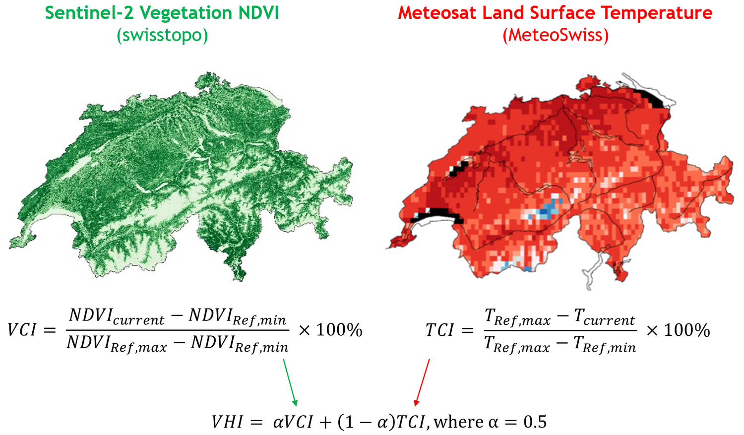
This index consists of two components and assesses, in addition to the condition of the plants (local biophysical conditions; Vegetation Condition Index, or VCI), the climatic conditions (temperature; Thermal Condition Index, or TCI). The current values are compared and related to the corresponding values from the climate reference period from 1991 to 2020. The combination of VCI and TCI in the VHI allows for the evaluation of the vegetation condition. When plants wilt prematurely or change color, and temperatures are unusually high at the same time, the VHI value decreases. A low VHI value indicates vegetation stress, such as during a drought period or in the case of disease infestation. The lower the VHI value, the higher the stress and the greater the potential damage to the vegetation.
The VHI is a relative measure that is only meaningful when comparing the same conditions. For example, the VHI is not meaningful for a farming plot where different crops are grown each year. Similarly, managed forests with wood removal may show a relatively lower or drier value, as less biomass remains. However, the remaining trees might be just as healthy as they were during the climate reference period.
Data visualisation and availability
The latest dataset can be displayed in the BGDI map viewer via https://map.geo.admin.ch/?layers=ch.swisstopo.swisseo_vhi_v100 . In the WMS of the BGDI, the dataset can be shown using the layer «ch.swisstopo.swisseo_vhi_v100».
The VHI has been produced retroactively for every day since April 2017 and is published continuously with a time lag of currently around three days. In addition, historical VHI data (January 1991 – March 2017) calculated using Landsat 5, 7 and 8 data is available. This data has a spatial resolution of 30 m and is summarised in monthly data sets (dated on the first day of each month).
To display older datasets in the BGDI map viewer, an URL parameterization must be applied. In the following link, <id> is replaced by the date of the data capture in the format ‘yyyy-mm-dd’ (example: 2025-01-01)
.
For example, for the dataset from 21th of September 2024:
Additional information
Access to raw data
The data can be accessed via the STAC Collection «ch.swisstopo.swisseo_vhi_v100» in the STAC interface of BGDI:
- Browser and download interface: swissEO VHI: Vegetation Health Index (admin.ch)
- Download API documentation: REST Interface: Spatial Temporal Asset Catalog API (admin.ch)
- Google Earth Engine: VHI Image Collection (since April 2017) [projects/satromo-prod/assets/col/VHI_SWISS] / VHI Image Collection (1991-2020) [projects/satromo-prod/assets/col/VHI_HIST_SWISS]
- Accessing STAC via Python - Introduction (Jupyter Notebook)
- Image processing using Python with STAC (Jupyter Notebook)
- Streaming swissEO products in QGIS
Terms of use
swissEO may be used, distributed and made accessible. Furthermore,it may be enriched and processed and also used commercially. A reference to the source is mandatory. In the case of digital or analogue representations and publications, as well as in the case of dissemination, the following source references must be attached in any case:
© swisstopo, Contains modified Copernicus Sentinel data [Year]
Further information on the terms of use can be found on the terms of use webpage.
Index
Federal Office of Topography swisstopo
Seftigenstrasse 264
3084 Wabern