
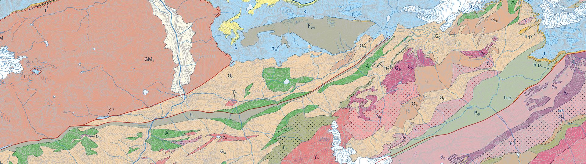
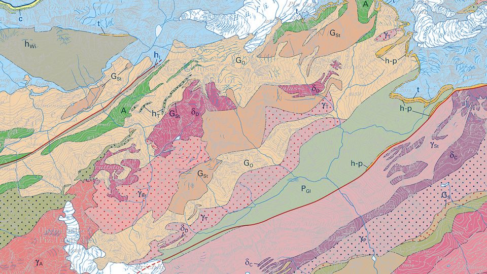
Special Geological Maps
Various different geological and tectonic maps at scales from 1:25'000 to 1:100'000 supplement the information given in the Geological Atlas of Switzerland 1:25'000 and the GeoMaps 500.
Order the Special Geological Maps as printed version
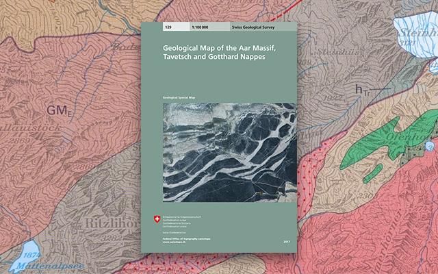
They cover areas chosen for geographical or thematic reasons and give information on regional geological relationships or focus on selected topics of special interest.
Order the Special Geological Maps
View the Special Geological Maps online
Discover the swisstopo maps and geodata conveniently on your screen. Measure distances and areas, compare current and historical aerial photos or add a drawing. You can print out the result or share it with your friends.
Division Special Geological Maps Pixel - Map viewer
Division Special Geological Maps Vector - Map viewer
Download the Special Geological Maps or use it as a geoservice
Index
Special Geological Maps Pixel
Various different geological and tectonic maps at scales from 1:25'000 to 1:100'000 supplement the information given in the Geological Atlas of Switzerland and the GeoMaps 500.

Special Geological Maps Vector
Various different geological and tectonic maps at scales from 1:25'000 to 1:100'000 supplement the information given in the Geological Atlas of Switzerland and the GeoMaps 500.
Federal Office of Topography swisstopo
Division Swiss Geological Survey
Seftigenstrasse 264
3084 Wabern
Seftigenstrasse 264
3084 Wabern