
Swiss Map Web
Web-based map views based on vector tiles technology. The presentation of the maps can be adapted by experts to individual requirements easily and quickly.
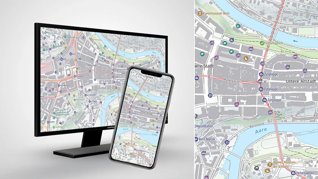
Base Map
The Base Map is a dynamic map optimised for mobile use based on Vectortiles technology. Integrated elements of the Base Map are points of interest on various topics.

Light Base Map
The Light Base Map is a background map to provide a foreground theme with optimal spatial orientation. The graphic design of this web map, based on vector tiles technology, is therefore unobtrusive with reduced content.
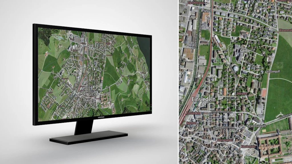
Imagery Base Map
The Imagery Base Map is a combination of up-to-date aerial photographs and cartographic elements, providing a good overview of the current landscape in an appealing format.
Federal Office of Topography swisstopo
Topography - Geodata Distribution
Seftigenstrasse 264
3084 Wabern
Seftigenstrasse 264
3084 Wabern