

100 years of swisstopo Flight service 1926–2026
In order to survey Switzerland using aerial photographs, the Federal Office of Topography swisstopo established its own flight service in 1926. It laid the foundations for maps, the land registry plan and photographic plans, which have had a significant impact on our image of Switzerland and continue to do so today.
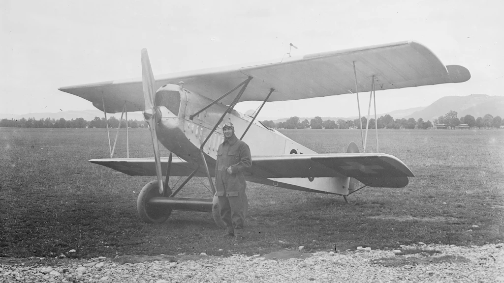
Sophisticated aerial cameras, aircraft specially designed for surveying purposes, a well-coordinated crew and clear skies are all necessary to produce high-quality aerial photographs. Over the past hundred years, the tasks and instruments used by the flying team have changed – from pioneering analogue work to digital aerial photography, which today forms the basis of various swisstopo products.
History revisited
To mark this anniversary, a richly illustrated book has been published for the first time, chronicling the hundred-year history of the flight service. Thematic articles on the first attempts, the aircraft and cameras used, the airfields, the personnel and the dangers they faced, as well as the intended use of the aerial photographs, are rounded off with explanations of the work of the flight service today. “Fotografen am Himmel: Der Flugdienst von swisstopo 1926–2026” (‘Photographers in the Sky: The Aerial Survey Service of swisstopo 1926–2026’) is published by Hier und Jetzt Verlag, Zurich.
Complementing the book, an online chronicle provides a schematic overview of the history of the air service and features testimonials from contemporary witnesses. Both will be available in bookshops and online from June 2026.
swisstopo historic – Geschichten zu historischen Karten
(in German, French and Italian)
Fotografen am Himmel
Hier und Jetzt Verlag (in German)


Special stamp to mark the anniversary
In addition to swisstopo, Swiss Post is also honouring the long-standing work of the swisstopo flight service with a special stamp. This will be available for purchase online and at all post offices from 7 May 2026.
Stamps 100 Years of the swisstopo Flight Service
For a century now, the swisstopo flight service has been mapping Switzerland from the air. The special stamps illustrate how aerial imagery serves as the basis for creating precise maps. At the center: the legendary Twin Otter.

Badge
Badge: 100 years of swisstopo flight service
An exclusive anniversary badge celebrating a century of swisstopo flight service.

Further information on this topic
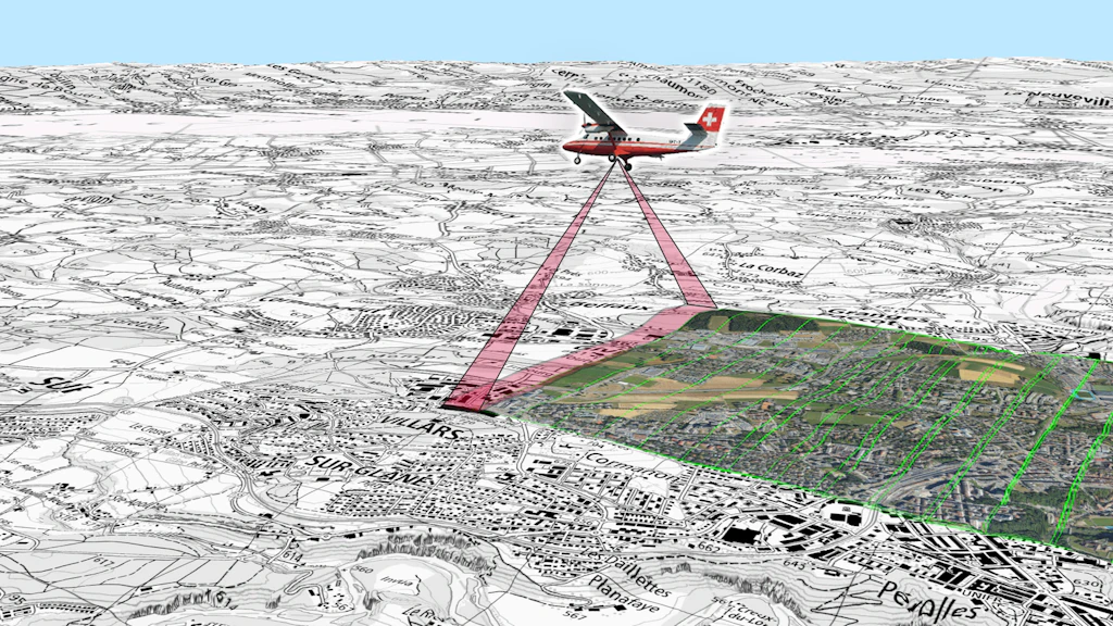
Aerial images
As the main input for the production of geodata, aerial images are the basis for products such as SWISSIMAGE or national maps. Thanks to a state-of-the-art photo sensor, swisstopo brings you Switzerland in high resolution.

Flight service
Flying is carried out in collaboration with the Swiss Air Force. The Aerial Photography flight service plans and coordinates all flying requirements.
Federal Office of Topography swisstopo
Seftigenstrasse 264
3084 Wabern