
Digital Image Strips
Aerial images strips are views of the landscape photographed from aircraft with digital cameras. They were produced between 2005 and 2025.
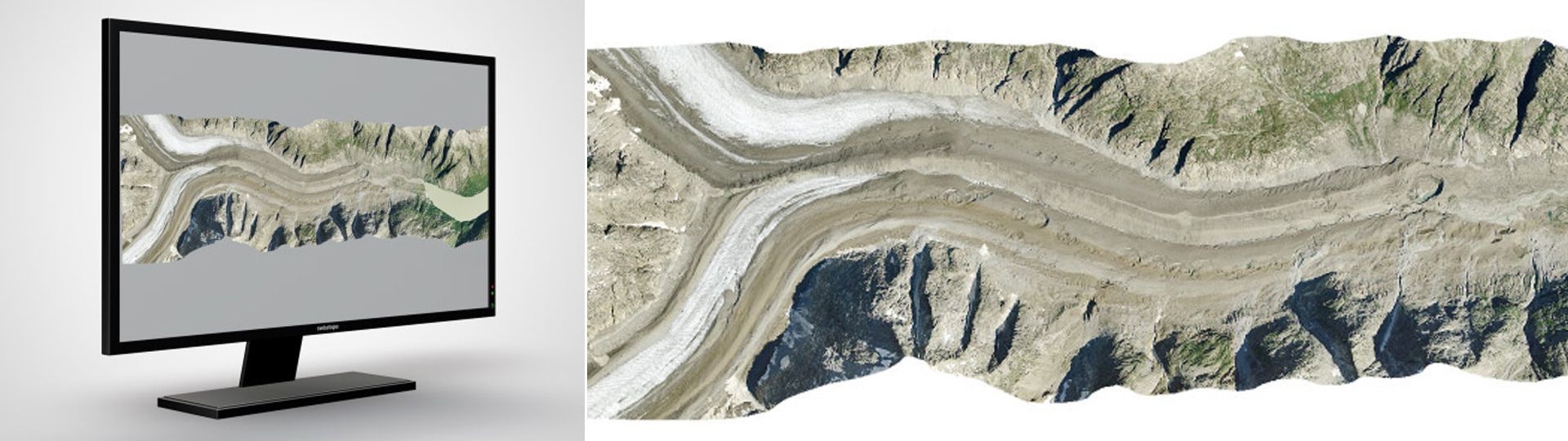
Digital image strips
With Leica ADS100 digital cameras, the landscape is scanned in strips with a linear scanner (20,000 pixels) in black and white, colour (RGB) and infrared. Special software is required for visualising and analysing image strips. With the LUBIS Viewer application, you can search aerial image strips which are registered in swisstopo’s LUBIS aerial imagery information system that were acquired between 2005 and 2025.
Applications
- Basis for creating related swisstopo products (e.g. topographic landscape model, terrain models, SWISSIMAGE)
- 3D interpretation
- For nature and environmental research purposes
Data access
The dataset is not available for free download. Please send your orders to geodata@swisstopo.ch who will make an offer for the costs of the provision of the data.
To facilitate the order, please indicate the image strip numbers as shown in the LUBIS Viewer or in the metadata available directly via this link (shapefile format).
Additional information
Index
Federal Office of Topography swisstopo
Seftigenstrasse 264
3084 Wabern