
Geoservices
Geoservices allow publishing and linking geographic information on the Internet. These services are used by applications to visualise or exchange data.

Geoservices with swisstopo geodata
Many of swisstopo's geodata can be freely accessed via the geoservices of the Federal Spatial Data Infrastructure (FSDI). The geoservices allow the most up-to-date swisstopo geodata to be consumed online without having to worry about storing and updating the data.

Transformation services and calculation services
The calculation services will help you to convert coordinates and data formats as well as to calculate the magnetic declination of a given point in Switzerland.
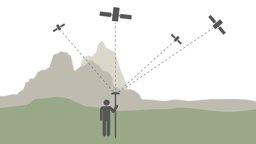
Swiss Positioning Service (swipos)
The Swiss Positioning Service (swipos) provides the official spatial reference frame of Switzerland, based on the satellite systems GPS, GLONASS, Galileo and BeiDou 3.
Federal Office of Topography swisstopo
Seftigenstrasse 264
3084 Wabern
Seftigenstrasse 264
3084 Wabern