
Geological models
Geological models are digital datasets that show the subsurface in 3D and give information about its composition.
The digital 2D geological models (swissGEOCOVER2D) provide information on the geological composition of the superficial strata of the terrestrial crust. Geological 3D models, such as swissJURA3D, are digital datasets that show the deeper geological subsurface and give information about its composition.

swissGEOCOVER2D
swissGEOCOVER2D provide information on the geological composition of the superficial strata of the terrestrial crust.

swissBEDROCK3D
swissBEDROCK3D is a predictive representation of the rock surface and the thickness of unconsolidated rock across Switzerland.
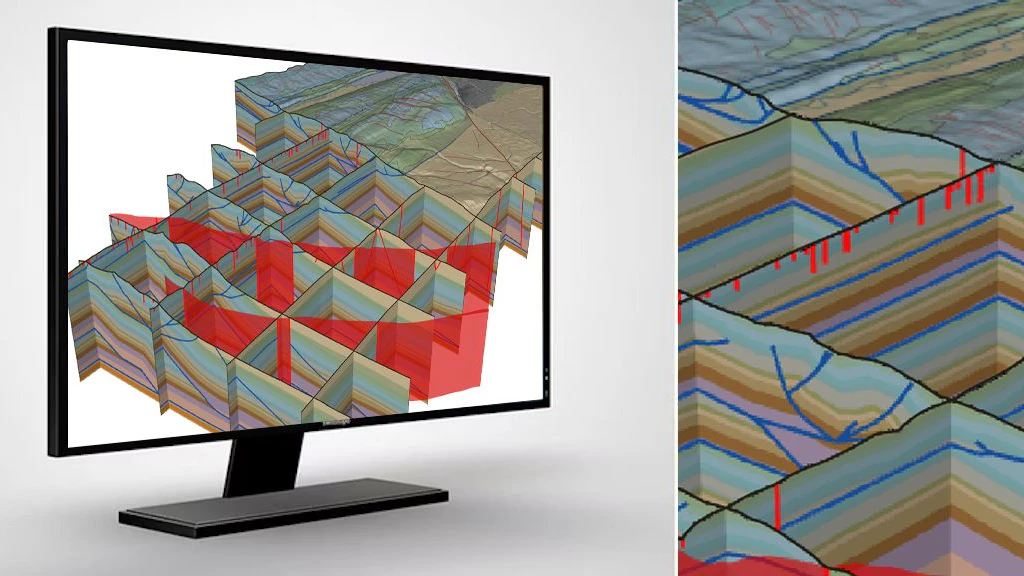
swissJURA3D
swissJURA3D is the 3D geological model of the Swiss Jura.

News about geodata
In this section you will find information about updates and news concerning swisstopo's geodata.
Federal Office of Topography swisstopo
Seftigenstrasse 264
3084 Wabern