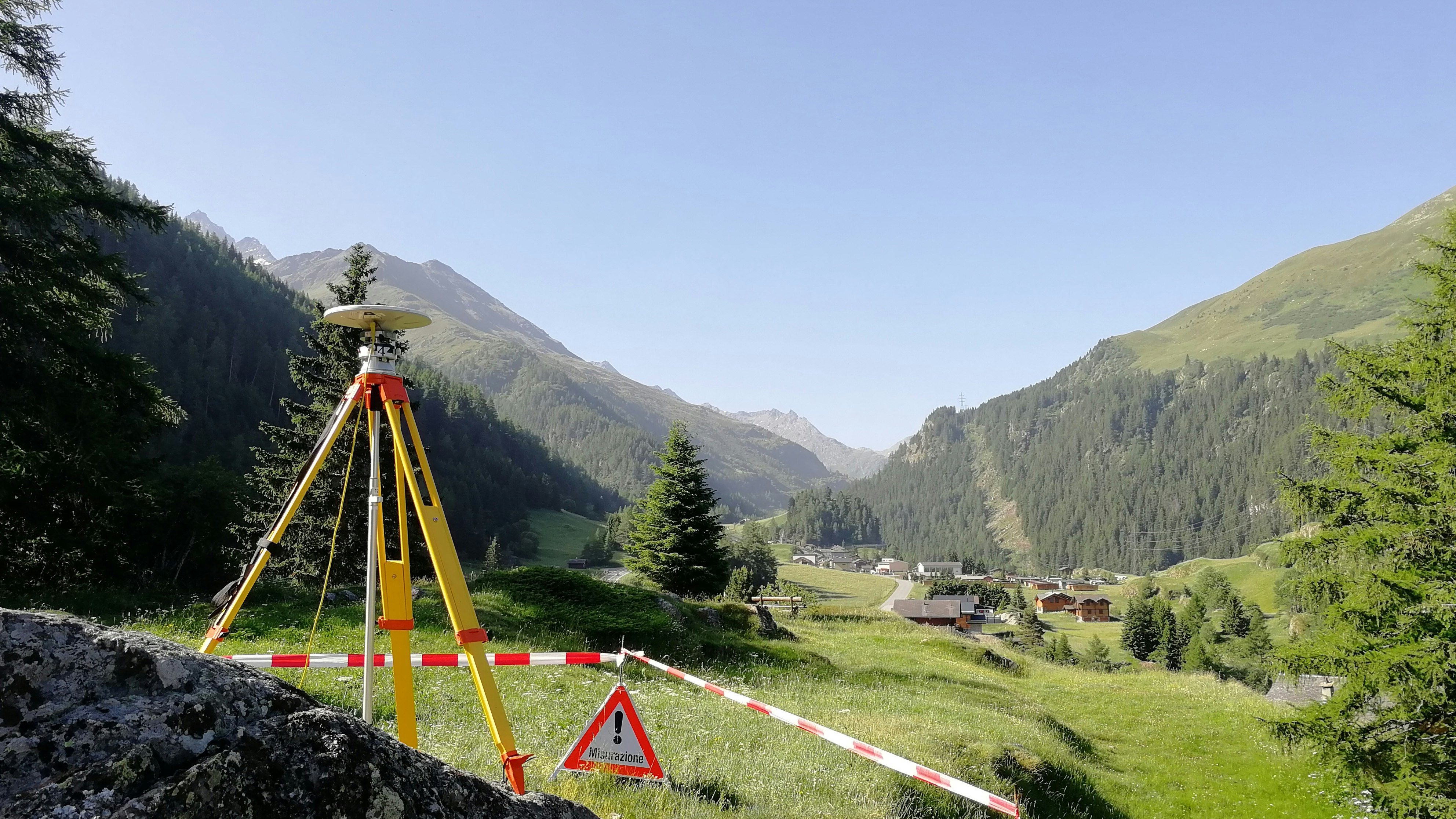
Geodetic Reference frames
With the aid of the geodetic reference frames, the geodetic reference systems in the terrain can be realised and made usable, for example for practical measurement purposes, as the basis for geographic information systems. These reference frames are geodetic control (fixed point) networks and the permanent stations, the coordinates of which are specified in the reference system.

Global reference frames
- ITRFyyyy - IERS Terrestrial Reference Frame yyyy
- ETRFyyyy - European Terrestrial Reference Frame yyyy
- CHTRFyyyy - Swiss Terrestrial Reference Frame yyyy
- EVRFyyyy - European Vertical Reference Frame
- IHRFyyyy - International Height Reference Frame
Local Swiss reference frames
- LV95 - National control network 1995 (official reference frame)
- LHN95 - National vertical network 1995 (scientific height reference frame)
- LV03 - National surveying 1903 (old reference frame)
- LN02 - National precise levelling 1902 (official height reference frame)
Local European reference frames
In addition to European reference frame ETRF89 (GNSS network EUREF), national reference frames (triangulation / levelling) are still in use in all European countries. The local reference frames are adapted to the special requirements of a given region (e.g. Switzerland) and should therefore only be used in that region. National survey organisations provide information about these systems and their transformation parameters.
Federal Office of Topography swisstopo
Seftigenstrasse 264
3084 Wabern

