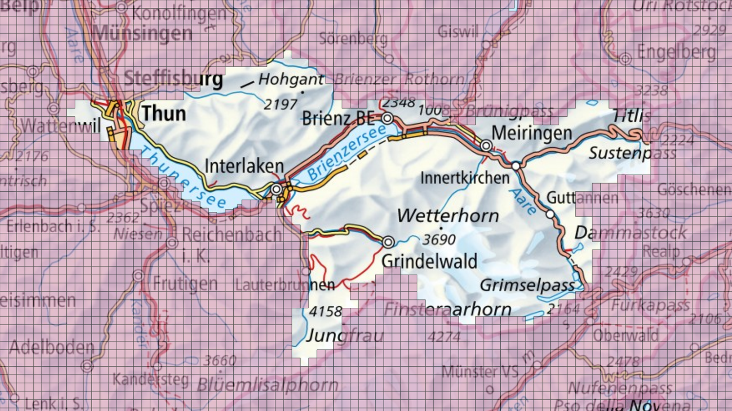
swissSURFACE3D Raster Update June 2024
swissSURFACE3D raster now also covers the cantons of Basel-Landschaft, Basel-Stadt and Solothurn, as well as the northern and western parts of the canton of Bern.
Update information
In the Bernese Oberland, the terrain could not yet be correctly recorded during the LiDAR flight due to excessive amounts of snow at higher altitudes (see image below). In order for swisstopo to be able to offer an accurate and consistent representation of the terrain across the whole of Switzerland, a further aerial survey will be carried out in this area when conditions are better. The swissSURFACE3D LiDAR and swissSURFACE3D Raster products are therefore expected to be fully available towards the end of the year.