
Historical images
swisstopo’s image collection encompasses approximately half a million aerial and terrestrial images as well as photos documenting the activities of the Federal Office. The images of the landscapes from the 1920s through to the present day are used for a wide range of purposes. Since 2008, measures have been implemented to ensure the preservation of this unique cultural treasure that and to provide easy access to the contents of the collection.
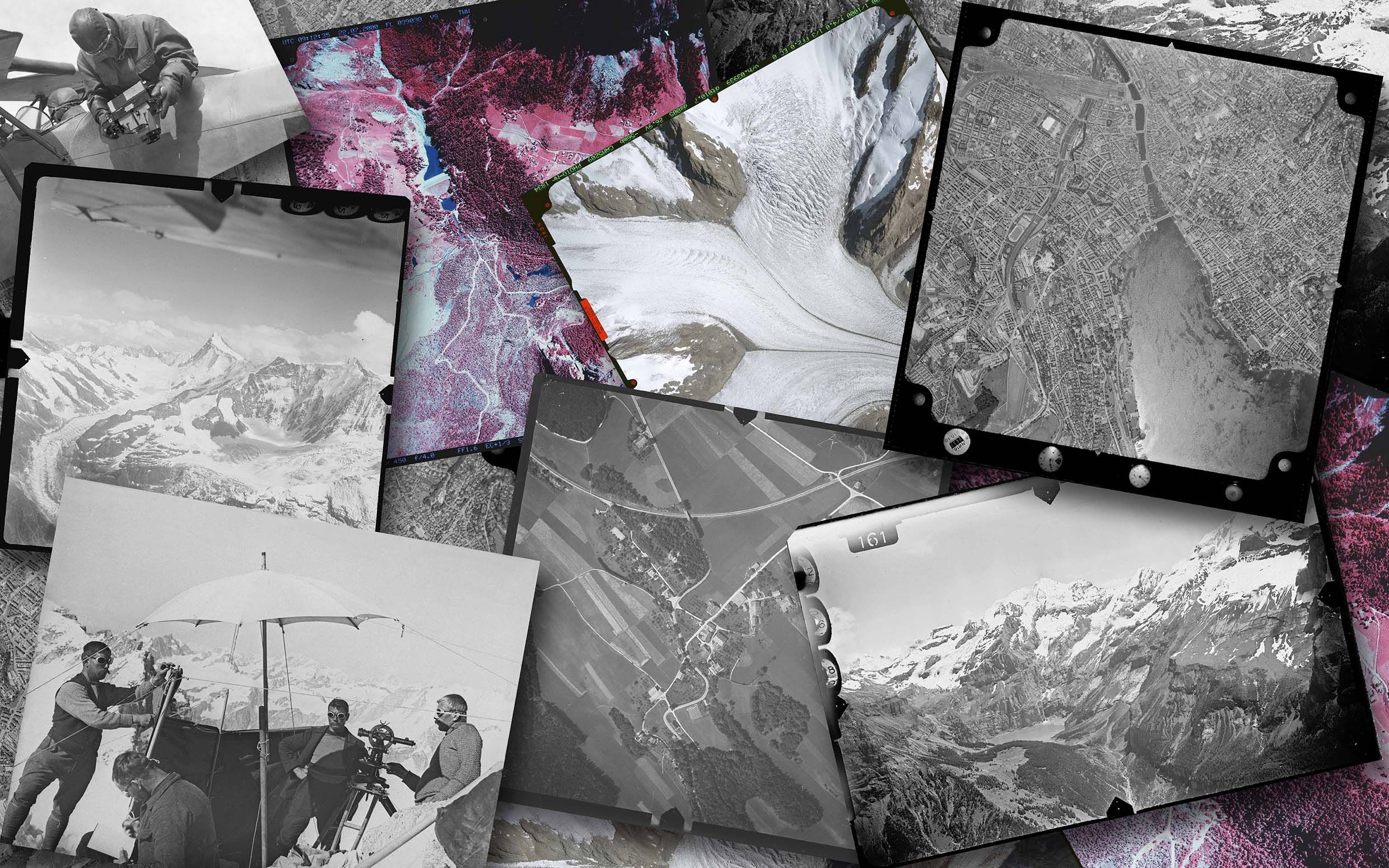
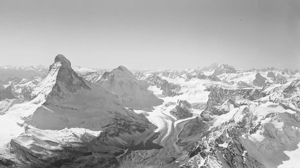
Our aerial images are vertical or oblique high-resolution landscape photographs. They contain a great deal of information and are used as a valuable source for identifying dynamic processes, as well as for documentation and planning purposes.
The terrestrial images were used as the basis for producing the 1:50,000 National Map and the 1:10,000 fortification maps in the period from 1915 to 1947.
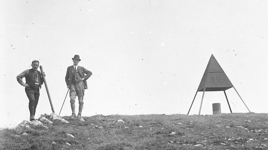
The oldest part of the image collection is formed by swisstopo's "Technical images". The photographs show, amongst other subjects, reference points of the national triangulations and document the working methods of the office's employees.
The swisstopo image collection has been listed in the Swiss Inventory of Cultural Property as a collection of national importance since 2021.
Historical aerial photos
Our aerial images are vertical or oblique high-resolution landscape photographs. They contain a great deal of information and are used as a valuable source for identifying dynamic processes, as well as for documentation and planning purposes.

Historical terrestrial images
Between 1915 and 1947 much of the region of the Alps was topographically surveyed using terrestrial photogrammetry for the purpose of producing the 1:10'000 fortification maps and the 1:50'000 National Map.
Historical technical images
The technical images, as they are known, taken from the 1880s onwards are the oldest sub-collection in swisstopo’s image collection. It includes about 40,000 photographic objects. The photos predominantly show points in the national triangulation network. This sub-collection also documents how people used to work. It thus tells the story of the adventurous life of national topographers.

Journey through time – aerial images
Go on a fascinating journey and travel back in time with the help of aerial images from swisstopo. Discover the history of Switzerland’s landscape as seen from the air.
Federal Office of Topography swisstopo
Seftigenstrasse 264
3084 Wabern