
Tools and functions
Transportation Network CH provides several tools to enable users to combine their spatial mobility and transport infrastructure data in a highly automated manner. These are currently being developed incrementally. Use of the tools is free of charge.
Highly automated linking of transport network data
The combination of transport network data via the Transportation Network CH tools usually takes place in several steps: First, the data is linked to the basic network via the “Matcher”. The data can then be edited and published in the “Configurator” as specialised networks. Finally, the “Combiner” is used to link to other transport network data.
Already implemented

Digital representation of all roads, railways, waterways and cableways in Switzerland and Liechtenstein.
Status: available for download. Updated periodically. Planned to be available as a service and maintained continuously.
More about «swissTNE Base»
Tools in development
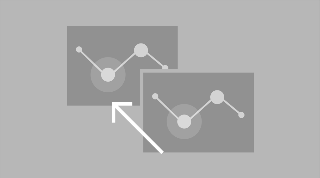
Function: Reference geodata to the basic network and compare specialised data with the basic network
Status: beta version available for selected users, usability and performance optimisations in progress

Function: Define, publish, automatically process and manage new specialised networks
Status: in development
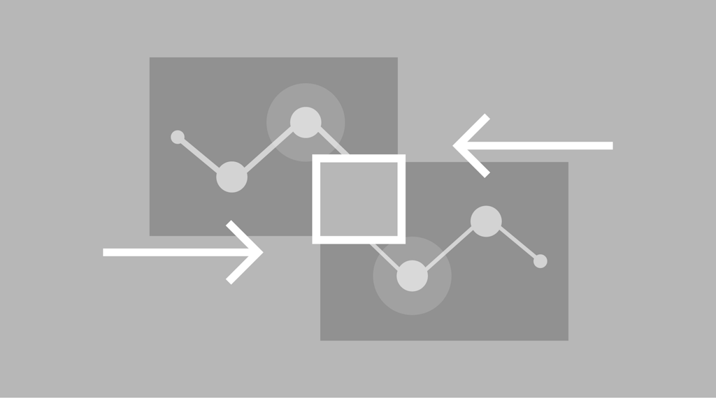
Function: Merge data from two or more specialised networks into a network combination
Status: in development

Function: Map application for manually adjusting or correcting specialised networks
Status: implemented for the basic network (for administrators), later also available for users and their specialised networks
Transportation Network CH in detail

Transportation Network CH
A brief overview, added value, target groups and answers to the most frequently asked questions

How does Transportation Network CH work?
Details on data combinations, specialised Networks and the basic Network

Examples of best practices
Already implemented and possible future applications of Transportation Network CH
Federal Office of Topography swisstopo
Seftigenstrasse 264
3084 Wabern
If you are interested in Transportation Network CH, have specific questions about its use, would like to provide feedback, or have ideas for a specific application, please contact our project team: