

Digital aerial images
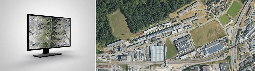
Digital aerial images are photographs of the landscape captured by aerial imaging sensors.
Aerial imagery
Digital aerial images include all aerial surveys carried out by swisstopo since 2026. Each image consists of 4 channels (red, green, blue, and near infrared) at 8 bits. It is described by the coordinates of the image center, the covered area (footprint), and metadata. These data are used to update national surveying products (orthophotos, topographic landscape models, national maps, etc.). Currently, one third of the territory is covered each year. Switzerland is divided into three regions along cantonal boundaries. Aerial images are also regularly produced for national environmental monitoring programs.
Applications
- Basis for studies in landscape and urban development
- Research in nature and environmental sciences
- Planning support 3D landscape visualization
- ...
Data access
Data not yet freely downloadable can be ordered. Please send requests to geodata@swisstopo.ch; a quotation will be provided.
To facilitate ordering, please indicate image numbers as shown in the map viewer or in the metadata. Or provide an area of interest.
Additional information
Index
Federal Office of Topography swisstopo
Seftigenstrasse 264
3084 Wabern