
History and collections
The Federal Office of Topography swisstopo has a rich and successful history. Since its founding in 1838, it has not only helped to shape Switzerland's development, but has also documented it with maps and photographs. In this section, you will find further information about the history of swisstopo and get insights into its historical collections.

History of swisstopo
The Federal Office of Topography swisstopo was founded in 1838 by Guillaume Henri Dufour in Carouge (Geneva) and was originally called “Bureau topographique fédéral”. It began publishing the first official set of national maps in 1845. Today, swisstopo is integrated into the Federal Department of Defence, Civil Protection and Sport (DDPS), and performs tasks for both the military and the private sectors. It is the country’s competence centre for official geodata.

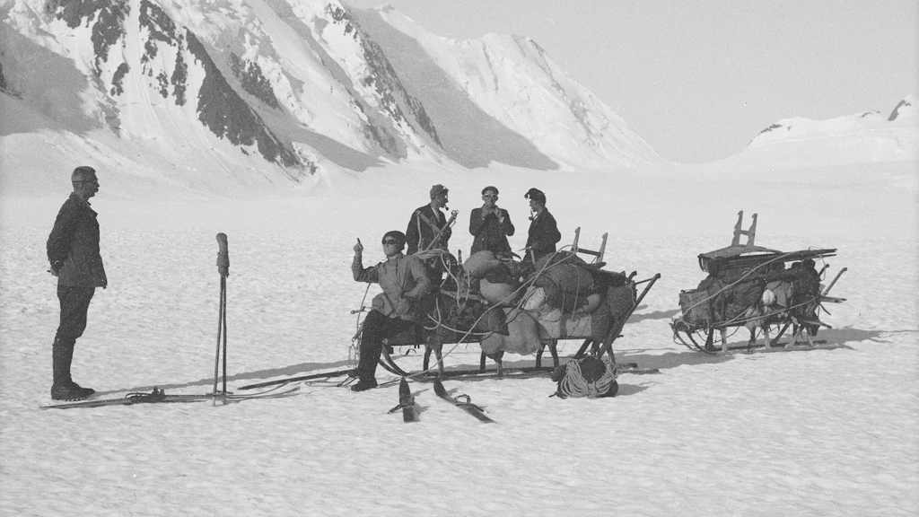
Historical images
swisstopo’s image collection encompasses approximately half a million aerial and terrestrial images as well as photos documenting the activities of the Federal Office. The images of the landscapes from the 1920s through to the present day are used for a wide range of purposes. Since 2008, measures have been implemented to ensure the preservation of this unique cultural treasure that and to provide easy access to the contents of the collection.

Historical maps
The swisstopo map collection is a unique cultural treasure comprising all first editions and revised versions of the official Dufour Map, the Siegfried Map and the series of national maps. The collection also contains a variety of documents, including handwritten items. All editions of the maps produced in analogue form can now be obtained in digital form or conveniently viewed chronologically in swisstopo’s map viewer.

Landscape memory
swisstopo has been documenting Switzerland’s topographic development for around 175 years. Preserving various geodata and making them available in the form of time series has resulted in a landscape memory of Switzerland that traces all the changes and developments over a lengthy period of time.
Space and time
This column presents exciting, surprising and adventurous chapters from the history of swisstopo.

swisstopohistoric.ch
In the swisstopohistoric.ch web application, stories from swisstopo's history are translated into digital formats such as podcasts, videos and interactive maps. An annually-changing focus topic determines the content of the contributions; an agenda also provides information about past and upcoming events.
Federal Office of Topography swisstopo
Seftigenstrasse 264
3084 Wabern