
Digital Maps
swisstopo’s digital maps are available in raster and vector formats. They form an excellent basis for digital use and further processing.

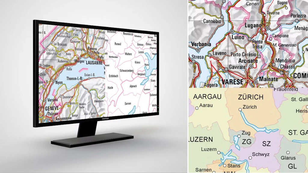
Swiss Map Raster
Digital national maps in raster format are derived directly from map bases and are georeferenced. Available in scales of 1:10,000 - 1:1 million.

Swiss Map Raster Winter
The national map in winter representation is available in scales 1:10'000 to 1:200'000 digitally, in raster format. With its wintry colour scheme it is suitable for the representation of winter themes. It is produced every year with the latest available data.

Swiss Map Vector
Swiss national maps in vector format for use in geographical information systems. Available in 1:10'000 – 1:1 million scales.

Swiss Map Web
Web-based map views based on vector tiles technology. The presentation of the maps can be adapted by experts to individual requirements easily and quickly.

Historical Maps
Get to know Switzerland's historical heritage with the original Siegfried and Dufour maps or old national maps; or visualised impressively on modern maps, too.

Digital Road Map of Switzerland
The most detailed and comprehensive road map of Switzerland in digital form.
General Maps of Switzerland
The digital general maps of Switzerland with various layers for showing and hiding form the perfect basis for desktop applications. Discover the map of cantons and municipalities, the general map and the relief map of Switzerland. The data can be used freely.
News about geodata
In this section you will find information about updates and news concerning swisstopo's geodata.
General information on obtaining geodata
Various options are available for downloading swisstopo geodata, depending on the data set. Large data sets are divided into spatial units for downloading. In the case of smaller data sets, the complete data content in its full geographical extent will be delivered. A user interface helps you select and download the geodata. An application programming interface (API) also enables you to obtain the data.

iFrame: Integrating the map viewer into a website
geo.admin.ch offers a simple and free way of integrating the map.geo.admin.ch map viewer into any web page using an iFrame.


Federal Office of Topography swisstopo
Seftigenstrasse 264
3084 Wabern