
Height Models
Height models are digital data sets which show the form of the earth's surface in 3D. Each set of X and Y coordinates shows a height (Z). Different products are available for various applications.
swissALTI3D
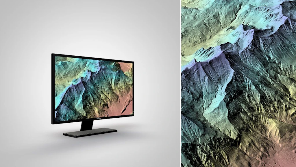
swissALTI3D is an extremely precise digital elevation model which describes the surface of Switzerland without vegetation and development. It is updated every six years.

swissSURFACE3D
swissSURFACE3D models all natural and man-made objects of the surface of Switzerland in the form of a classified point cloud. These high-accuracy and high spatial density data are collected by airborne LiDAR.

swissSURFACE3D Raster
swissSURFACE3D Raster is a digital surface model (DSM) which represents the earth’s surface including visible and permanent landscape elements such as soil, natural cover, and all sorts of constructive work with the exception of power lines and masts.
swissBATHY3D
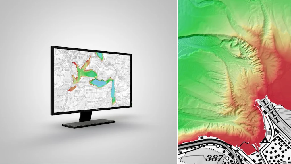
swissBATHY3D contains bathymetric data in the form of a very accurate digital elevation model that describes the topography of the Swiss lakebeds.

swissALTIRegio
swissALTIRegio is a small scale digital height model that describes the surface without vegetation nor construction of Switzerland and regions of its neighbouring countries.

DHM25
Digital height model DHM25 is a set of data representing the 3D form of the earth’s surface without vegetation and buildings. It is essentially based on the 1:25'000 Swiss national map.

DHM25 / 200m
Digital height model DHM25 with 200 m grid is a set of data representing the 3D form of the earth’s surface without vegetation and buildings. It is essentially based on the 1:25'000 Swiss national map.
News about geodata
In this section you will find information about updates and news concerning swisstopo's geodata.
General information on obtaining geodata
Various options are available for downloading swisstopo geodata, depending on the data set. Large data sets are divided into spatial units for downloading. In the case of smaller data sets, the complete data content in its full geographical extent will be delivered. A user interface helps you select and download the geodata. An application programming interface (API) also enables you to obtain the data.

iFrame: Integrating the map viewer into a website
geo.admin.ch offers a simple and free way of integrating the map.geo.admin.ch map viewer into any web page using an iFrame.


Federal Office of Topography swisstopo
Seftigenstrasse 264
3084 Wabern