
Geodetic national survey
Geodesy is the science of surveying and depicting the earth’s surface. Its purpose is to determine the shape of the earth (referred to as the geoid) and its gravity field, and any changes that take place. Geodetic surveying tasks include the definition of geodetic reference systems and the creation, updating and management of reference frameworks, as well as the marking and surveying of the national borders.

The fundamentals of geodesy include reference systems, the definition of reference areas and map projection systems and their realisation in the form of reference frameworks, geoid models, control and permanent GNSS networks. These are used for bringing spatial data (geodata) of all types into harmony with an unequivocal and precise geometric correlation with the European and global reference systems. Thanks to geodetic criteria and reference data for the national geodata infrastructure, it is possible to depict geodata and their national and international interchangeability in a homogeneous manner.

Coordinates
How do you inform people about your location? As a rule you give them an address or describe your surroundings. With the aid of coordinates, however, you can accurately indicate the position of a given location within a few centimetres. This page explains what coordinates are and how they are calculated.

Geodetic Reference systems
A geodetic reference system defines a spatial coordinates system (origin and orientation of coordinate axes) for indicating spatial positions (location, height) and gravity of points. This definition also specifies the shape, size and spatial location of the reference area (usually a rotation ellipsoid), plus (where applicable) the corresponding physical parameters of the earth’s gravity field and a map projection.

Geodetic Reference frames
With the aid of the geodetic reference frames, the geodetic reference systems in the terrain can be realised and made usable, for example for practical measurement purposes, as the basis for geographic information systems. These reference frames are geodetic control (fixed point) networks and the permanent stations, the coordinates of which are specified in the reference system.

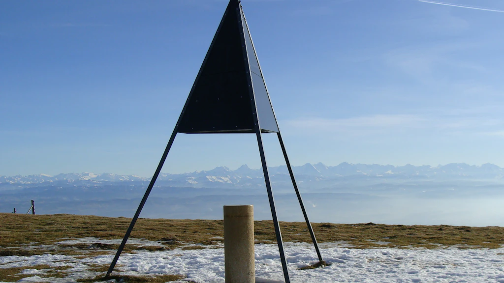
Zimmerwald geostation
The Zimmerwald geostation is the fundamental point and most important reference point for the Swiss geological survey. It secures the connection to the global networks.

Permanent GNSS networks
Permanent GNSS stations form the modern-day reference points for positioning and surveying. GNSS receivers located at several thousand stations throughout the world permanently receive signals from the available navigation satellites. The networks are divided into various categories according to their importance.
Surveying procedures
Various surveying methods for collecting geodetic data are applied, depending on the specific task and desired degree of accuracy.
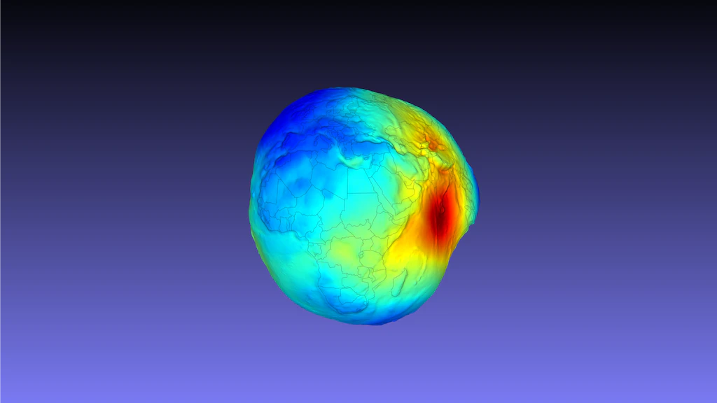
Geoid
The geoid is a selected equipotential surface of the earth's gravity field and serves as the reference surface for height determination. It can be considered as an idealised continuation of the mean surface of the oceans beneath the continents.

FAQ on geodetic topics
Frequently asked questions concerning geodesy, surveying and navigation.
Links
Federal Office of Topography swisstopo
Seftigenstrasse 264
3084 Wabern