
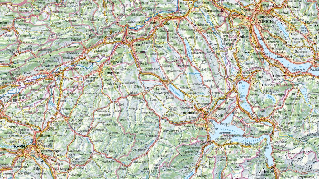
Geodata news - Overview
Detailed list of updates and new features relating to swisstopo geodata.

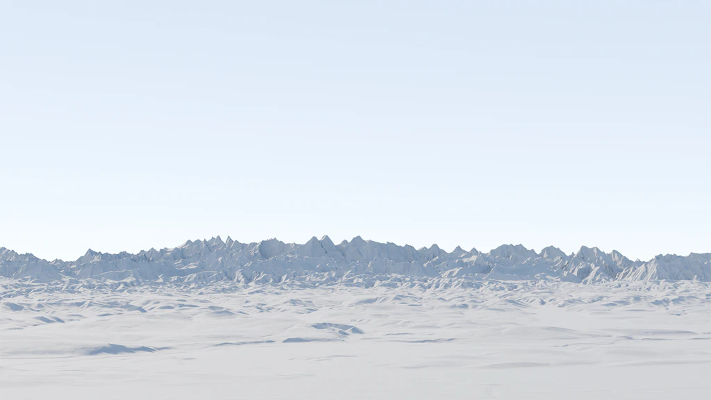
swissSURFACE3D Raster Update July 2026
The latest data from swissSURFACE3D Raster is now available for the cantons of Fribourg, Geneva, Neuchâtel and Vaud.

New slope class
After discussion with the WSL Institute for Snow and Avalanche Research SLF and the Swiss Alpine Club SAC, swisstopo has introduced a new class for slopes exceeding 50° in the slope classes layer. The aim is to improve readability. The changes are visible immediately in the slope classes layer on map.geo.admin.ch and in the swisstopo app.
swissALTIRegio Update June 2026
The latest edition of swissALTIRegio is now available for download. We have integrated new data for the cantons of Basel-Landschaft, Basel-Stadt, Berne and Solothurn.

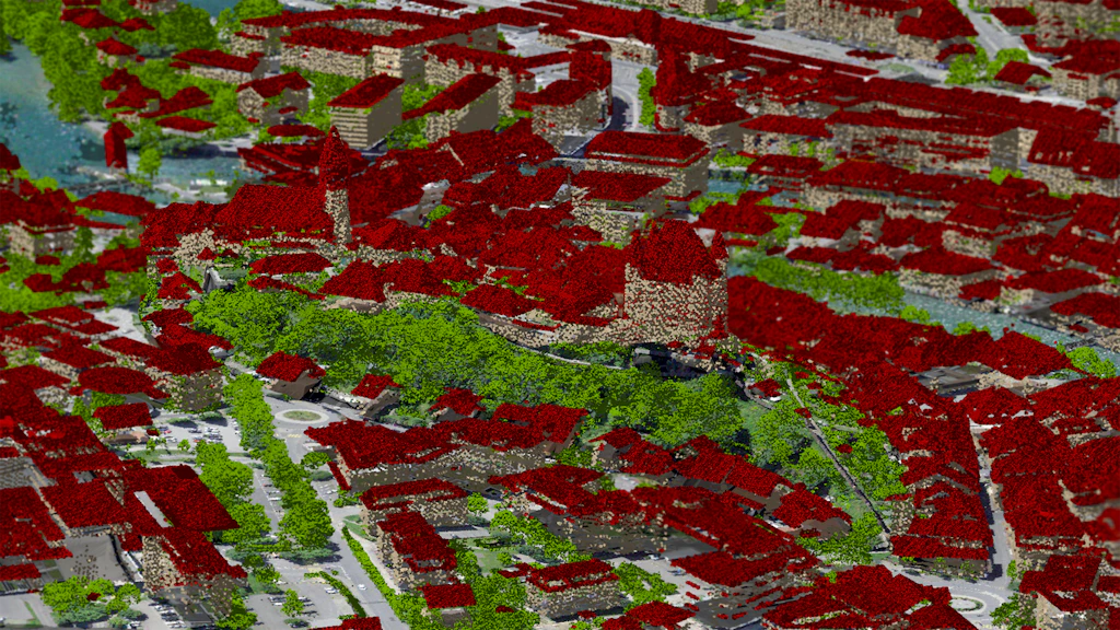
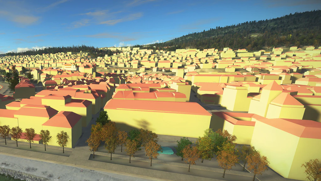
swissBUILDINGS3D 3.0 Beta Update June 2026
In swissBUILDINGS3D 3.0 Beta, 3D building models with the federal building identifier (EGID) are now also available for the cantons of Nidwalden, Obwalden and Uri. Furthermore, the cantons of Aargau and Schaffhausen have been updated.
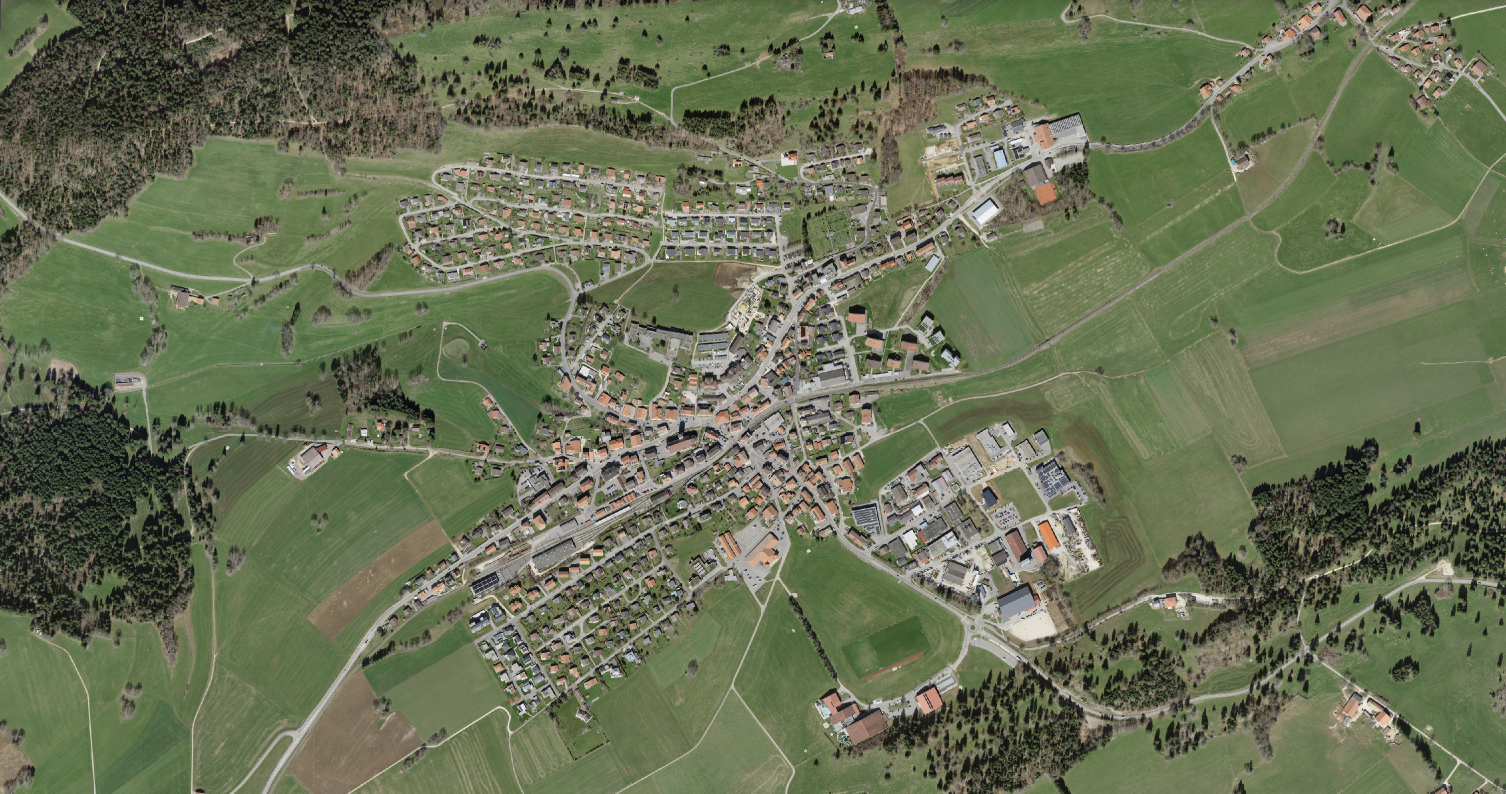
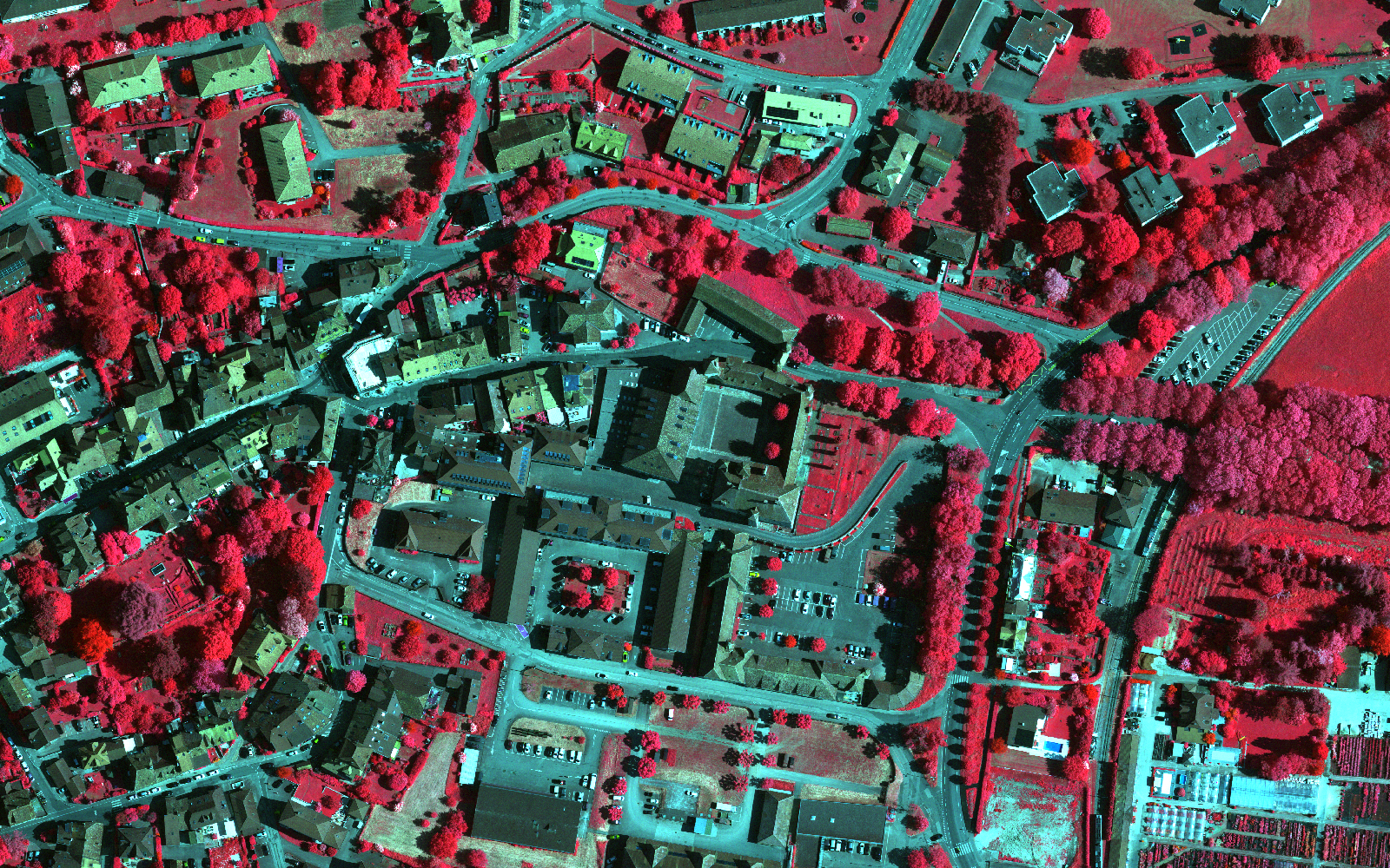
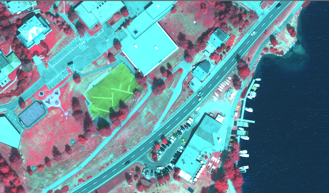
SWISSIMAGE Update May 2026
Update of the SWISSIMAGE product with images of 2025.The latest images of the canton Glarus are now available.
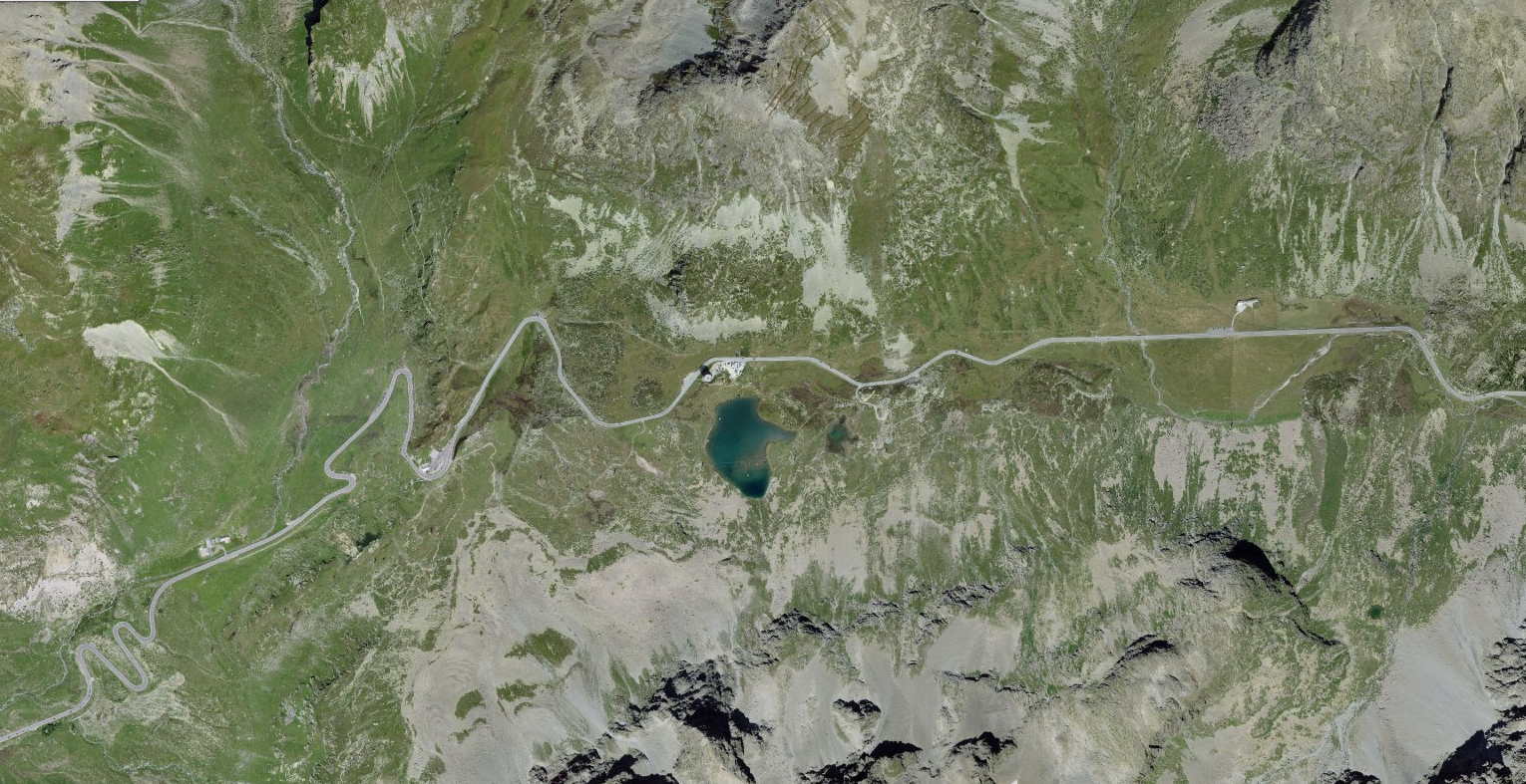
swissSURFACE3D Update April 2026
Thanks to the latest publication from swissSURFACE3D, the latest generation of LiDAR data is now available across the cantons of Vaud and Fribourg.

Swiss Map Web products Update April 2026
The vector tilesets ‘Base’ (ch.swisstopo.base.vt) and ‘Relief’ (ch.swisstopo.relief.vt) have been updated with the latest data.

swissNAMES3D Update April 2026
swisstopo has published the 2026 edition of swissNAMES3D. With over 490000 geo-referenced entries, swissNAMES3D is the most comprehensive collection of Swiss geographic names. As a new feature, the product now includes the names of populated places also as point objects. These center points enable more precise placement of this name category in cartographic products. In addition, swissNAMES3D is now also available as a GeoPackage.
New aerial imaging sensor – evolution and changes in swisstopo products
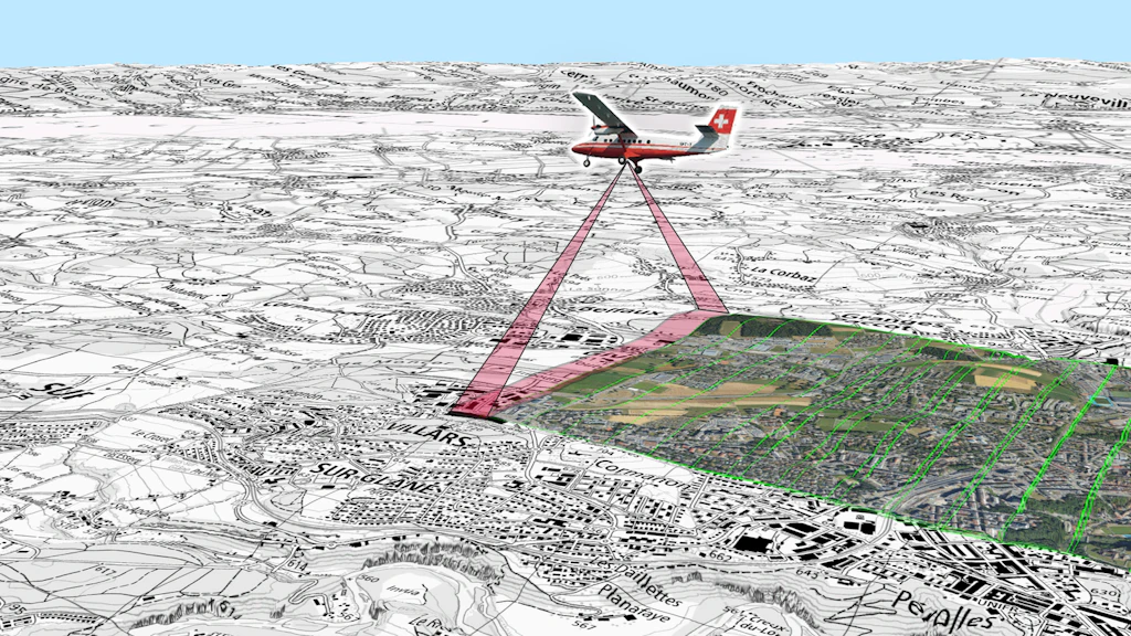
The acquisition of aerial images constitutes one of the essential foundations for the production of national geodata by the Federal Office of Topography swisstopo. These data are used in particular for updating the topographic landscape model, national maps, as well as for producing the SWISSIMAGE orthophoto mosaic. In order to keep pace with the rapid evolution of aerial imaging technologies and to further improve the quality and efficiency of its surveys, swisstopo is modernising its sensor system and evolving several products in its catalogue.
swissSURFACE3D Raster Update April 2026
The latest data from swissSURFACE3D Raster is now available for the cantons of Appenzell Ausserrhoden, Appenzell Innerrhoden, Glarus, St. Gallen, Schaffhausen, Schwyz, Thurgau, Zug and Zurich, as well as the Principality of Liechtenstein.

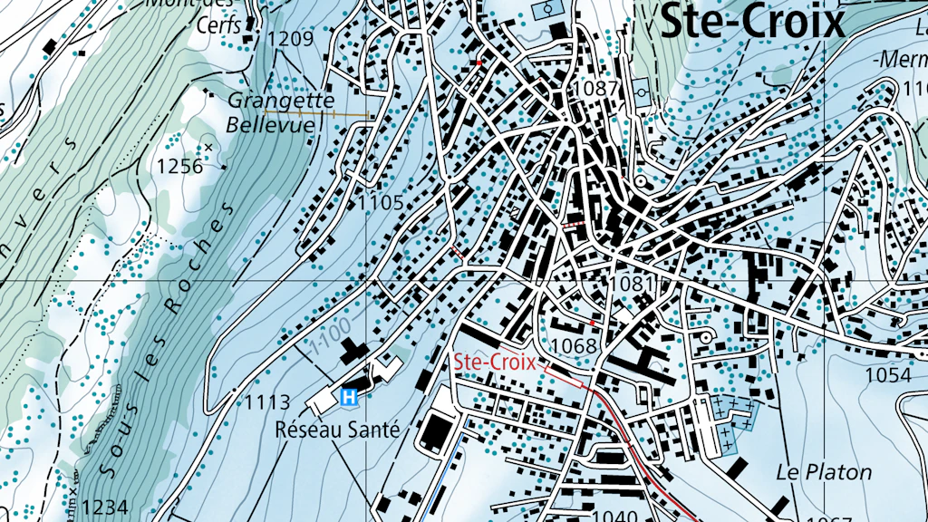
swissTLM-Map Update April 2026
swisstopo has updated the map display of swissTLM-Map with the latest data of the topographic landscape model (TLM), as well as the corresponding layers in map.geo.admin.ch.

swissSURFACE3D second Update March 2026
The latest generation of LiDAR data is now available for the areas covered by the 1:25,000 national map sheets numbers 1203, 1204, 1205, 1206, 1223, 1224, 1225, 1226, 1243, 1245, 1246 and 1265.

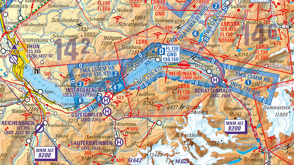
Aeronautical Maps Update 2026
The digital edition 2026 of the Aeronautical Chart ICAO and the Glider Map is available now and valid from 19 March 2026.

swissSURFACE3D Update March 2026
The latest generation of LiDAR data is now available for the canton of Neuchâtel, the eastern part of the canton of Vaud and the northern part of the canton of Fribourg.
SWISSIMAGE Update Februar 2026
Update of the SWISSIMAGE product with images of 2025.The latest images of the cantons Appenzell Innerrhoden und Ausserhode, St. Gallen and the Principality of Liechtenstein are now available.

swissTLM3D Update February 2026
The 2026 update of swissTLM3D is available. swisstopo has updated the topographic landscape model including the hiking routes. The current hiking route network is already published on map.geo.admin.ch.

swissSURFACE3D Update February 2026
The latest generation of LiDAR data is now available for the cantons of St. Gallen, Appenzell Ausserrhoden, Appenzell Innerrhoden, Glarus and the Principality of Liechtenstein. This marks the completion of the first stage of the new acquisition cycle.
General maps of Switzerland Update 2026
The digital general maps of Switzerland with various layers for showing and hiding form the perfect basis for desktop applications. Updated data is now available.
SWISSIMAGE RS Update January 2026
Production of the SWISSIMAGE RS for the flight year 2025 has been completed. Data are available on request.The SWISSIMAGE RS product will evolve in 2026 following the replacement of the camera for aerial photography. More information will follow.

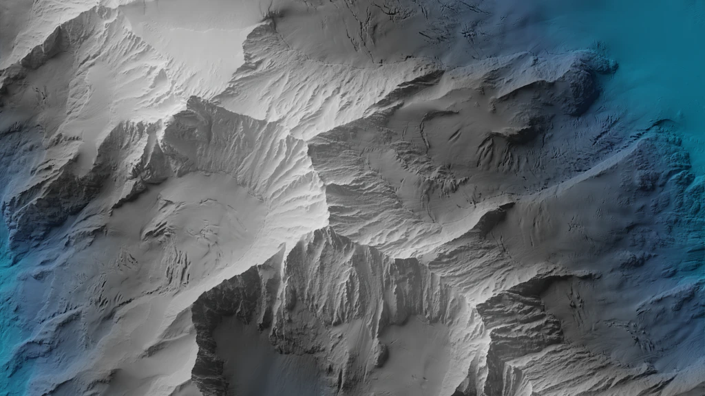
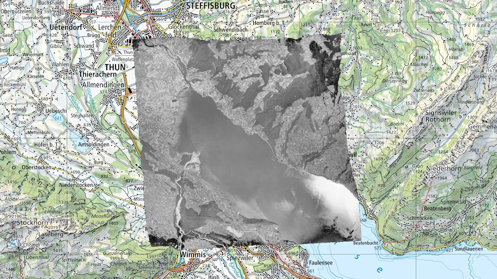
swissSURFACE3D Update January 2026
The latest generation of LiDAR data is now available for the entire canton of Schwyz and parts of the cantons of Appenzell Innerrhoden, Appenzell Ausserrhoden, Glarus and St. Gallen, as well as for the Principality of Liechtenstein. The publication area includes the following 1:25,000 national map sheets: 1076, 1094, 1095, 1096, 1114, 1133, 1134, 1136, 1153, 1155, 1156, 1171, 1172, 1173, 1175, 1176, 1193, 1194, 1195. The second illustration presents an overview of the published area.
SWISSIMAGE Update January 2026
Update of the SWISSIMAGE product with images of 2025.The latest images of the canton of Schwyz are now available.

Swiss Map Raster 500 and 1000 edition 2025
The 2025 update of the National Maps 1:500'000 and 1:1 million are now available as digital National Maps Swiss Map Raster.
swissBOUNDARIES3D Update January 2026
The 2026 edition of swissBOUNDARIES3D is available! This updated dataset contains all fusions of municipalities and boundary modifications that came into effect on January 1, 2026. One such change is the transition of the municipality of Moutier from the canton of Bern to the canton of Jura.
A journey through time – National Map 1:50'000
The journey through time is now available for the National map 1:50'000. Analyse the evolution of the Swiss landscape from 1938 to the present day on the map viewer map.geo.admin.ch or with the geoservices of the Federal Geodata Infrastructure.
Official directory of towns and cities
From January 2026, there will be some changes to the CSV format of the official directory of towns and cities.

swissTLMRegio Update December 2025
This year’s update of our small-scale landscape model is available. swissTLMRegio represents the natural and man-made features of the landscape in Switzerland and neighboring countries.

Swiss Map Raster Winter - 2025 Edition
The digital national maps with a wintry colour scheme have been updated and are available at scales from 1:10,000 to 1:200,000 as well as at 1:500,000 and 1:1,000,000. The perfect basis for the presentation of winter and snow sports themes.

Swiss Map Vector 25 Update 2025
Swiss Map Vector 25 has been updated with the latest data. The 2025 edition of the national vector map at a scale of 1:25,000 is now available.
Snowsport topics Update 2025
swisstopo has updated the winter sports theme. Ski and snowshoe routes, cable cars and ski lifts operating in winter, as well as winter accommodation, continue to be available as separate layers on map.geo.admin.ch or as vector data for download.
SWISSIMAGE update December 2025
Update of the SWISSIMAGE product with images of 2025.The latest images of the canton of Thurgau are now available.
swissEO Product Line: New Forest Indicators for Drought Monitoring – swissEO NDVIz and swissEO NDVIdiff
The effects of climate change, particularly drought periods and disturbances such as pest infestations or storms, pose major challenges for Swiss forests. Detailed, nationwide monitoring is essential to detect changes in vitality at an early stage and to support management decisions. Building on the existing swissEO products for drought monitoring, swisstopo is now launching two new geodata products specifically designed for forest areas.
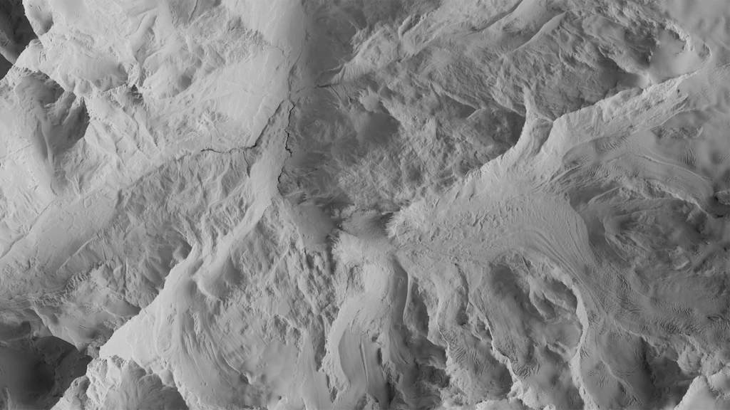
swissALTI3D Update December 2025
The latest version of swissALTI3D is now available. It includes updated elevation data for the southern part of the canton of Bern. With this publication, swissALTI3D was derived entirely from high-resolution LiDAR data for the first time.

swissBUILDINGS3D 3.0 Beta Update November 2025
In swissBUILDINGS3D 3.0 Beta, 3D building models with the federal building identifier (EGID) are now also available for the cantons of Solothurn and Lucerne. Furthermore, the canton of Basel-Landschaft has been updated.
Digital Road Map 2026/27 edition
The 2026/27 edition of the digital Road Map of Switzerland at a scale of 1:200,000 is now available.

Swiss Map Raster 200 Update 2025
The 2025 update of the National Map 1:200,000 is now available as digital National Map Swiss Map Raster.

Improvement of the online tool for correction reports
Users of our maps and geodata can easily submit correction requests via map.geo.admin.ch or the swisstopo app and send them to swisstopo with just a few clicks. These notifications are then published as points in the webmap viewer. We have now optimized this reporting process and, above all, improved communication with users. Senders of correction requests will now be actively informed by email as soon as the processing status of their report changes.

swissSURFACE3D Update November 2025
The latest generation of LiDAR data is now available for the entire canton of Geneva and the south-western part of the canton of Vaud. Furthermore, we mistakenly published all LiDAR tiles for eastern Switzerland that appeared in 2025 in the LHN95 height system instead of the LN02 height system. The tiles have since been recalculated and republished on November 4th. If you want to project tiles downloaded before this date into the LN02 height system, you can use Geosuite with the REFRAME module.
SWISSIMAGE update November 2025
Update of the SWISSIMAGE product with images of 2025.The latest images of the cantons of Schaffhausen, Zurich and Zug are now available.

swissBEDROCK update octobre 2025
Release 1 of swissBEDROCK is now available and includes several integrated cantonal models. The data are available on map.geo.admin.ch and swissgeol.ch.
A journey through time – Siegfried Map
The journey through time is now available for the Siegfried Map. Analyse the evolution of the Swiss landscape from 1952 to 1949 on the map viewer map.geo.admin.ch or with the geoservices of the Federal Geodata Infrastructure.
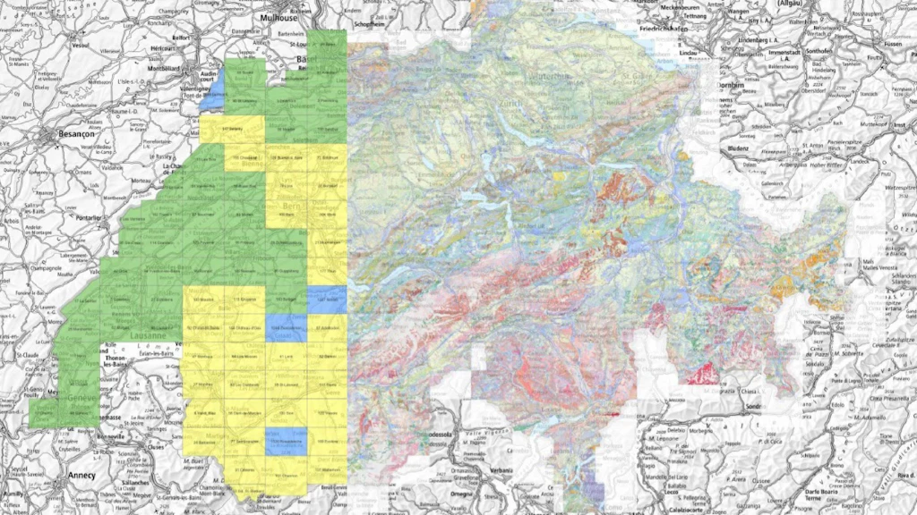
GeoCover update September 2025
New update of GeoCover (dati geologici di superficie) with 12 new vector datasets. The data are available on map.geo.admin.ch and swissgeol.ch.
SWISSIMAGE RS update October 2025
New update of SWISSIMAGE RS with the 2025 imagery in northeastern Switzerland. The cantons of Appenzell Ausserrhoden, Thurgau, Zug and Zurich are now complete. The data are available upon request.

Swiss Map Vector 10 Update 2025
Swiss Map Vector 10 has been updated with the latest data. The 2025 edition of the national vector map at a scale of 1:10,000 is now available.
SWISSIMAGE update September 2025
First update of the SWISSIMAGE product with images 2025.The first images of the canton of Zurich are now available. Subsequent updates will follow in the coming months.

Swiss Map Web products update
The styles of the Swiss Map Web product family have been updated.

swissSURFACE3D Update August 2025
The latest generation of LiDAR data is now available for the entire canton of Schaffhausen, the western part of the canton of Zurich and the north of the canton of Zug. A new delivery format, additional classes, higher point density and a normalised reflectance value are the most important innovations compared to the previous generation.

swissALTI3D Update August 2025
The latest version of swissALTI3D is now available. It includes updated elevation data for the cantons of Basel-Land, Basel-Stadt and Solothurn, as well as the northern part of the canton of Berne.
SWISSIMAGE Update August 2025
Update of the SWISSIMAGE product with images of 2024.The latest images of the canton of Tessin are now available. Due to prolonged bad weather during the 2024 flight season, it was not possible to survey and update the entire territory of the canton.SWISSIMAGE's production with images from 2024 is now complete.

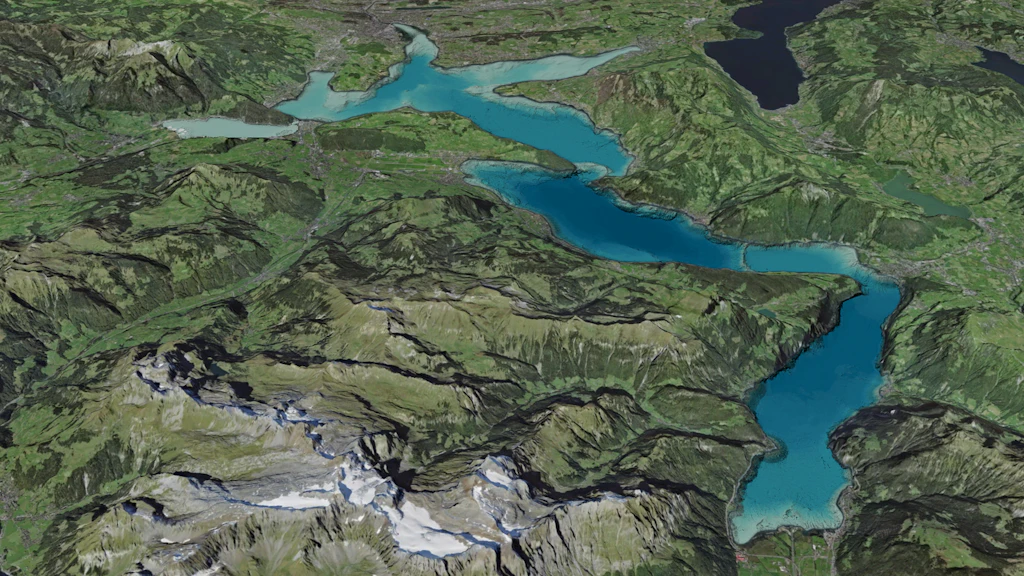
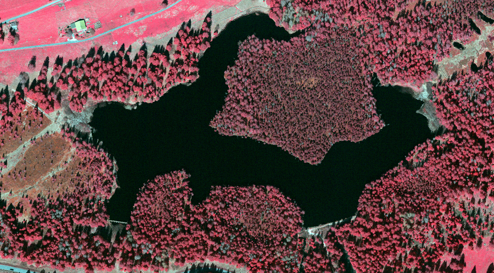
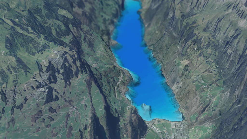
swissBATHY3D Update July 2025
The batyhmetric of Lake Lungern are now available in swissBATHY3D.
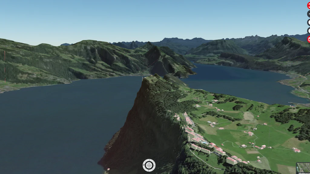
New features in the 3D view of map.geo.admin.ch
The 3D view of the map.geo.admin.ch map viewer has some new features: the terrain model is now much more detailed, and 3D buildings have been improved.

swissALTIRegio Update July 2025
The latest edition of swissALTIRegio is now available for download. We have integrated new data for Baden-Württemberg and the canton of Valais, significantly improving the quality of the terrain model.

swissBUILDINGS3D 3.0 Beta Update June 2025
In swissBUILDINGS3D 3.0 Beta, 3D building models with the federal building identifier (EGID) are now also available for the cantons of Fribourg, Neuchâtel and Schaffhausen.

Swiss Map Vector 500 and 1000 Update
The edition of the national vector maps 1:500,000 and 1:1 Million, Swiss Map Vector 500 and 1000, with data status 2024 is now available.
Swiss Map Web products Update May 2025
The vector tileset ‘Base’ (ch.swisstopo.base.vt) has been updated with the latest data.
SWISSIMAGE Update June 2025
Update of the SWISSIMAGE product with images of 2024.The latest images of the canton of Bern are now available. Due to prolonged bad weather during the 2024 flight season, it was not possible to survey and update the entire territory of the canton.
General maps of Switzerland Update 2025
The digital general maps of Switzerland with various layers for showing and hiding form the perfect basis for desktop applications. Updated data is now available.

swissBATHY3D Update June 2025
The batyhmetric of Lake Sarnen are now available in swissBATHY3D.
swissNAMES3D Update May 2025
The 2025 edition of swissNAMES3D is available. With over 437000 geo-referenced entries, swissNAMES3D is the most comprehensive collection of Swiss geographic names.

Swiss Map Raster 10 Update 2025
swisstopo has updated the digital National Map 1:10,000 (Swiss Map Raster 10) with the latest data. The 2025 edition of Switzerland's most detailed national map is available for download and can be viewed at map.geo.admin.ch.
SWISSIMAGE Update April 2025
Update of the SWISSIMAGE product with images of 2024.The latest images of the cantons of Lucerne, Obwalden, Nidwalden and Uri are now available. Due to prolonged bad weather during the 2024 flight season, the cantons Obwalden, Nidwalden and Uri could not be fully surveyed and updated.
SWISSIMAGE RS Update April 2025
The first images of 2025 were produced for SWISSIMAGE RS. Data are available on request.

swissTLM-Map Update April 2025
swisstopo has updated the map display of swissTLM-Map with the latest data of the topographic landscape model (TLM), as well as the corresponding layers in map.geo.admin.ch.
Official directory of building addresses
The coordinates of building entrances will now also be provided in .csv format with three decimal places.
swissBOUNDARIES3D Update April 2025
On April 6th, three mergers of municipalities took place in the Canton of Ticino. The latest edition of our product swissBOUNDARIES3D already includes these boundary modifications in the municipalities of Lema, Quinto and Giornico. The layer «Municipal boundaries» is also up to date in map.geo.admin.ch.

swissSURFACE3D Raster Update March 2025
With the update for the Canton of Bern, swissSURFACE3D Raster is now available for the whole of Switzerland and the Principality of Liechtenstein.
SWISSIMAGE RS Update March 2025
The production of SWISSIMAGE RS with the 2024 images has been completed. Data are available on request.
Aeronautical Maps Update 2025
The digital edition 2025 of the Aeronautical Chart ICAO and the Glider Map is available now and valid from 20 March 2025.
swissTLM3D Update March 2025
The 2025 update of swissTLM3D is available. swisstopo has updated the topographic landscape model including the hiking routes. The current hiking route network is already published on map.geo.admin.ch.
SWISSIMAGE Update February 2025
Update of the SWISSIMAGE product with images 2024.The Canton of Aargau is now available with the latest images.

New: Base Map Winter
The Base Map Winter is a variation of the Base Map in a winter colour scheme. Its content is the same as the Base Map.
swissSURFACE3D: Milestone achieved and course set for the future
With the release of data for the Canton of Bern, uniform and highly precise LiDAR data from swissSURFACE3D is now available for all of Switzerland and the Principality of Liechtenstein. The nationwide survey, launched in spring 2017, was carried out in six stages and took a little more than seven years to complete. Due to high demand and positive experiences, swisstopo has initiated a new LiDAR survey to ensure the continued update of swissSURFACE3D and swissSURFACE3D Raster products.
Official directories of streets and building addresses
Major changes to the official street and building address directories will take place in March 2025. To help you prepare, these changes are listed below. Technical documentation will be updated accordingly.
Search with approximate entries for building addresses
For some time, the search service was only able to find exact entries for building addresses. The search service has now been corrected.
Swiss Map Raster 500 and 1000 edition 2024
The 2024 update of the National Maps 1:500'000 and 1:1 million are now available as digital National Maps Swiss Map Raster.
swissBOUNDARIES3D Update January 2025
The 2025 edition of swissBOUNDARIES3D is available! This updated dataset contains all fusions of municipalities that came into effect on January 1, 2025.
swissALTI3D Update December 2024
The latest version of swissALTI3D is now available. The entire canton of Valais has been updated with new elevation data.
SWISSIMAGE Update December 2024
Update of the SWISSIMAGE product with images 2024.The central part of the Canton of Berne is now available with the latest images.

Snowsport topics Update 2024
swisstopo has updated the ski and snowshoe routes. These are now also available for download as vector data. The cableways and skilifts that operate in winter, as well as winter accommodation, can now be viewed as separate layers on map.geo.admin.ch and are also available for download.

swissBUILDINGS3D 3.0 Beta Update November 2024
In swissBUILDINGS3D 3.0 Beta, 3D building models with the federal building identifier (EGID) are now also available for the cantons of St. Gallen and Schwyz.
Migration of scanned aerial and terrestrial images for direct download completed
The migration of more than 360’000 images to the STAC infrastructure has been completed to allow, among other things, direct downloading. The aerial and terrestrial images are also accessible on the map viewer of the federal geoportal.
Swiss Map Raster 200 Update 2024
The 2024 update of the National Map 1:200,000 is now available as digital National Map Swiss Map Raster.
Swiss Map Raster Winter - 2024 Edition
The digital national maps with a wintry colour scheme have been updated and are available at scales of 1:10'000 to 1:200'000 and now also in 1:500'000 and 1:1'000'000. The perfect basis for the presentation of winter and snow sports themes.
SWISSIMAGE Update October 2024
Update of the SWISSIMAGE product with images 2024.The canton of Basel-Landschaft as well as part of the canton of Solothurn and the north of the canton of Bern are now available with the latest images.
Swiss Map Vector 25 Update 2024
Swiss Map Vector 25 has been updated with the latest data. The 2024 edition of the national vector map at a scale of 1:25,000 is now available.
swissBATHY3D Update October 2024
The batyhmetric of Lake Lucerne are now available in swissBATHY3D.
swissTLMRegio Update October 2024
This year’s update of our small-scale landscape model is available. swissTLMRegio represents the natural and man-made features of the landscape in Switzerland and neighboring countries. The data set is now also available in the GeoPackage format.
SWISSIMAGE RS Update October 2024
The production of SWISSIMAGE RS with the 2024 images has been completed for the canton of Aargau and a first part of the canton of Bern. Data are available on request.
swissEO Product Line: Near-Realtime Satellite Data for Drought Monitoring – and Other Applications
The increasing frequency and intensity of drought periods, such as those in 2018 and 2022, pose a growing challenge. Comprehensive drought monitoring is essential to enable timely responses. On behalf of the Federal Council, corresponding geodata products are being developed to provide precise, near-real-time data.
SWISSIMAGE Update September 2024
First update of the SWISSIMAGE product with images 2024.The canton of Basel-Stadt is now available with the latest images.

swissBUILDINGS3D 3.0 Beta in the format CityGML 2.0
swissBUILDINGS3D 3.0 Beta is now also available in the CityGML format. The 3D building models can be downloaded free of charge from the product page.
SWISSIMAGE RS Update August 2024
The production of SWISSIMAGE RS with the 2024 images has been completed for the cantons Basel-Stadt, Basel-Landschaft and Solothurn. Data are available on request.

Swiss Map Vector 10 Update 2024
Swiss Map Vector 10 has been updated with the latest data. The 2024 edition of the national vector map at a scale of 1:10,000 is now available.

Official directories of streets and building addresses: update August 2024
Data of the Principality of Liechtenstein are now available for download in STAC API. All download links have been modified.
SWISSIMAGE Update June 2024
A new SWISSIMAGE update with images from the year 2023 is available. The Canton of Valais is now entirely updated with the latest images.The production of SWISSIMAGE with images from the year 2023 has been completed.

swissALTI3D Update June 2024
The latest version of swissALTI3D is now available. The entire canton of Jura has been updated with new elevation data.
swissNAMES3D Update June 2024
The 2024 edition of swissNAMES3D is available. With over 430,000 geo-referenced entries, swissNAMES3D is the most comprehensive collection of Swiss geographic names.

swissSURFACE3D Raster Update June 2024
swissSURFACE3D raster now also covers the cantons of Basel-Landschaft, Basel-Stadt and Solothurn, as well as the northern and western parts of the canton of Bern.

swissBUILDINGS3D Update June 2024
In swissBUILDINGS3D 3.0 Beta, 3D building models with the federal building identifier (EGID) are now also available for the cantons of Bern and Jura. Moreover, swisstopo has updated the datasets of swissBUILDINGS3D 2.0 and swissBUILDINGS3D 3.0 Beta in the cantons of Bern, Jura and Valais.
SWISSIMAGE Update May 2024
A new SWISSIMAGE update with images from the year 2023 is now available. A first part of the canton of Valais has been updated with the most recent images. The remaining part of the canton will be available at the beginning of July 2024.
Swiss Map Raster 10 Update 2024
swisstopo has updated the digital National Map 1:10,000 (Swiss Map Raster 10) with the latest data. The 2024 edition of Switzerland's most detailed national map is available for download and can be viewed at map.geo.admin.ch.
A new map of the Geological Atlas of Switzerland 1:25 000
Sheet 177 Thun illustrates the differing geological structure of the Alpine margins on each side of Lake Thun and the Aare Valley: to the west, the remarkable Stockhorn chain and the landslide-prone formations of the Gurnigel region; to the east, the thick conglomerate layers between the Zulg Valley and Oberhofen.
A journey through time national map 1:25’000
The journey through time is now available for the 1:25’000 National Map. Analyse the evolution of the Swiss landscape from 1952 to the present day on the map viewer map.geo.admin.ch or with the geoservices of the Federal Geodata Infrastructure.
Official directory of towns and cities: Update May 2024
The product information has been updated.

swissSURFACE3D Update April 2024
Our swissSURFACE3D data now covers the northern part of the canton of Berne up to the northern border of Thun.

swissTLM-Map Update April 2024
swisstopo has updated the map display of swissTLM-Map with the latest data of the topographic landscape model (TLM), as well as the corresponding layers in map.geo.admin.ch.

swissALTIRegio - the elevation model for wide-area applications
The latest addition to swisstopo's range of elevation models has recently become available. swissALTIRegio is a small-scale terrain model. It replaces the outdated DHM25 and covers Switzerland and neighbouring countries with the latest elevation data.
swissSURFACE3D Update March 2024
Our swissSURFACE3D data now covers the cantons of Basel-Landschaft, Basel-Stadt and Solothurn, as well as the north-western part of the canton of Bern.
Aeronautical Maps Update 2024
The digital edition 2024 of the Aeronautical Chart ICAO and the Glider Map is available now and valid from 21 March 2024.
swissTLM3D Update March 2024
The 2024 update of swissTLM3D is available. swisstopo has updated the topographic landscape model including the hiking routes. The current hiking route network is already published on map.geo.admin.ch.

Update of a municipal boundary in swissBOUNDARIES3D
Due to a boundary mutation between the municipalities of Kloten and Nürensdorf, swisstopo has updated the affected boundary in the product swissBOUNDARIES3D.

SWISSIMAGE Update February 2024
A new SWISSIMAGE update with images from 2023 is available. The entire canton of Vaud has been updated with the latest images.

swissBATHY3D Update February 2024
The batyhmetric data from lakes of Baldegg and Sempach are now available in swissBATHY3D.

SWISSIMAGE Update January 2024
A new SWISSIMAGE update with images from 2023 is available. The entire canton of Fribourg and Geneva and a large part of the canton of Vaud have been updated with the latest images.
Swiss Map Vector 500 and 1000 Edition 2023
The edition of the national vector maps 1:500,000 and 1:1 Million, Swiss Map Vector 500 and 1000, with data status 2023 is now available.

SWISSIMAGE RS Update January 2024
Production of the SWISSIMAGE RS for the flight year 2023 has been completed. Data are available on request.
swissBOUNDARIES3D Update December 2023
The 2024 edition of swissBOUNDARIES3D is available! This updated dataset contains all fusions of municipalities that came into effect on January 1, 2024.
Municipal boundaries - journey through time
The number and territory of Swiss municipalities have changed considerably since 1850 and the creation of modern Switzerland. Discover this evolution on the map portal map.geo.admin.ch with the new journey through time function for municipal boundaries.

swissALTI3D Update December 2023
For the 2023 edition of swissALTI3D, the canton of Grisons has been updated.
Swiss Map Raster 1000 Update 2023
The 2023 update of the National Map 1:1 million is now available as digital National Map Swiss Map Raster.
Scanned Aerial Images for Download
The self-service geodata offering from swisstopo is expanding with the integration of scanned aerial images. For the past few weeks, these images have been gradually made available for direct download. The integration of over 350’000 images will take several months and is expected to be completed by the end of 2024. Aerial images can be accessed through the map viewer of the federal geoportal.
swissBUILDINGS3D Update December 2023
swisstopo has partially updated the products swissBUILDINGS3D 2.0 and swissBUILDINGS3D 3.0 Beta. The entire canton of GR has been updated. Moreover, swissBUILDINGS3D 3.0 Beta includes now 3D building models with the federal building identifier (EGID) also for the cantons of BL and BS.

Swiss Map Vector 10 and 25 Update 2023
The 2023 edition of the national vector maps Swiss Map Vector 10 and 25 is now available with updated data.

Official directory of towns and cities: New release per 1.12.2023
A new, revised data model will come into force on 01.01.2024.
SWISSIMAGE RS Update November 2023
Production of the SWISSIMAGE RS 2023 for the cantons of Fribourg, Vaud and Valais has been completed. Data are available on request.
Digital Road Map Update 2024/25
The 2024/25 edition of the digital Road Map of Switzerland at a scale of 1:200,000 is now available.
Swiss Map Raster Winter - 2023 Edition
The digital national maps in winter colours have been updated and are available at scales of 1:10,000 to 1:200,000. The perfect basis for visualising winter and snow sports themes.
Official directory of towns and cities
swisstopo compiles, manages and publishes the directory of towns and cities, which includes postcodes as well as perimeters. The «PLZO_CH» dataset is available throughout the entire country.

swissSURFACE3D Update November 2023
Our swissSURFACE3D data now also cover the southwest of the canton of Bern.

Swiss Map Raster 500 Update 2023
The digital National Map 1:500,000, Swiss Map Raster 500, has been updated and the 2023 edition is now available. Swiss Map Raster 500 provides an accurate general map of Switzerland and adjoining foreign territory.
Swiss Map Raster 200 Update
The 2023 update of the National Map 1:200,000 is now available as digital National Map Swiss Map Raster.
swissTLMRegio Update October 2023
The update 2023 of our small-scale landscape model is available. swissTLMRegio represents the natural and man-made features of the landscape in Switzerland and neighboring countries.
Official directory of towns and cities: New release per 1.10.2023
swisstopo compiles, manages and publishes the directory of towns and cities, which includes postcodes as well as perimeters. The «PLZO_CH» dataset is available throughout the entire country.
-DE.png?w=1612&auto=format)
SWISSIMAGE RS Update Septembre 2023
Production of the SWISSIMAGE RS 2023 for the canton of Geneva has been completed. Data are available on request.

SWISSIMAGE Update September 2023
A new SWISSIMAGE update with images from 2023 is available. The entire canton of Neuchâtel has been updated with the latest images.

Official directory of building addresses Update September 2023
The data will soon be available via the STAC API. The old data reference path will still be available during a transition period of two months.

Official street directory
The data will soon be available via the STAC API. The old data reference path will still be available during a transition period of two months.

Official directory of towns and cities: New release per 1.9.2023
swisstopo compiles, manages and publishes the directory of towns and cities, which includes postcodes as well as perimeters. The «PLZO_CH» dataset is available throughout the entire country.

swissSURFACE3D Raster Update August 2023
As of now, swissSURFACE3D Raster is available for the canton of Valais.
Official directory of towns and cities: New release per 1.8.2023
swisstopo compiles, manages and publishes the directory of towns and cities, which includes postcodes as well as perimeters. The «PLZO_CH» dataset is available throughout the entire country. From 1 June 2023, the directory will no longer be available in MN03. The data is accessible via the STAC API.
Official street directory Update August 2023
This directory lists all streets, paths, alleys, squares and named districts that are used as street names for addresses. After the update, street axes will be extracted from the Topographic Landscape Model (TLM) in all of Switzerland.
-DE.png?rect=0%2C0%2C1506%2C794&w=1024&auto=format)
SWISSIMAGE Update July 2023
The first update of SWISSIMAGE with images from 2023 is available. The entire canton of Jura has been updated with the latest images.
-DE.png?rect=0%2C0%2C1600%2C1000&w=1024&auto=format)
SWISSIMAGE RS Update July 2023
Production of the SWISSIMAGE RS 2023 for the canton of Neuchâtel has been completed. Data are available on request.
Official directory of towns and cities: New release per 1.7.2023
swisstopo compiles, manages and publishes the directory of towns and cities, which includes postcodes as well as perimeters. The «PLZO_CH» dataset is available throughout the entire country. From 1 June 2023, the directory will no longer be available in MN03. The data is accessible via the STAC API.
-EN.png?rect=0%2C0%2C1399%2C787&w=1024&auto=format)
SWISSIMAGE Update June 2023
Last update of the SWISSIMAGE product with images of 2022. The completion of the canton of Graubünden concludes the updating of the East of Switzerland with the 2022 images.

swissSURFACE3D Update June 2023
The latest edition of swissSURFACE3D is available. Our LiDAR data now cover the entire canton of Valais.
-EN.png?rect=0%2C0%2C1586%2C892&w=1024&auto=format)
SWISSIMAGE RS Update June 2023
Production of the SWISSIMAGE RS 2023 for the canton of Jura has been completed. Data are available on request.

swissNAMES3D Update June 2023
The 2023 edition of swissBOUNDARIES3D is available. With over 400,000 geo-referenced entries, swissNAMES3D is the most comprehensive collection of Swiss geographic names.

swissBUILDINGS3D Update June 2023
swisstopo has partially updated the products swissBUILDINGS3D 2.0 and swissBUILDINGS3D 3.0 Beta. In total an area of 3500 km2 has been updated in the cantons of LU, OW, NW, UR and TI. Moreover, swissBUILDINGS3D 3.0 Beta includes now 3D building models with the federal building identifier (EGID) for the canton AG and the city of Zürich.
Official directory of towns and cities: New release per 1.6.2023
swisstopo compiles, manages and publishes the directory of towns and cities, which includes postcodes as well as perimeters. The «PLZO_CH» dataset is available throughout the entire country. From 1 June 2023, the directory will no longer be available in MN03. The data is accessible via the STAC API.

swissBATHY3D Update May 2023
The bathymetric data of Lake Morat and Lac de Joux were extended by the shallow water area and cover the lakes completely. Furthermore, we have added Lake Hallwil and the deep water area on the Swiss side of Lago Maggiore to the data set.

Swiss Map Raster 10 Update 2023
swisstopo has updated the digital National Map 1:10,000 (Swiss Map Raster 10) with the latest data. The 2023 edition of Switzerland's most detailed national map is available for download and can be viewed at map.geo.admin.ch.
Swiss Map Vector 500 and 1000 Update May 2023
The edition of the national vector maps 1:500,000 and 1:1 Million, Swiss Map Vector 500 and 1000, with data status 2022 is now available.
swissTLM-Map Update May 2023
swisstopo has updated the map display of swissTLM-Map with the latest data of the topographic landscape model (TLM), as well as the corresponding layers in map.geo.admin.ch.
-DE.png?rect=0%2C0%2C1356%2C821&w=1024&auto=format)
SWISSIMAGE Update May 2023
New update of the SWISSIMAGE product with images of 2022. The first part of the canton of Graubünden is now available with the most recent images.
Official directory of towns and cities
swisstopo compiles, manages and publishes the directory of towns and cities, which includes postcodes as well as perimeters. The «PLZO_CH» dataset is available throughout the entire country.

New service IFC
swisstopo offers a new service: Upon order, we export our building models and the terrain model in IFC format for a specific project area.

swissSURFACE3D Update April 2023
Our LiDAR data now cover half of the canton of Valais.
Official directory of towns and cities: New release per 1.4.2023
swisstopo compiles, manages and publishes the directory of towns and cities, which includes postcodes as well as perimeters. The «PLZO_CH» dataset is available throughout the entire country.

Aeronautical Maps Update 2023
The digital edition 2023 of the Aeronautical Chart ICAO and the Glider Map is available now and valid from 23 March 2023.

swissTLM3D Update March 2023
The 2023 update of swissTLM3D is available. The current edition of swissTLM3D is now also available in GeoPackage format and contains all validated street names from the official index of streets.
Official directory of towns and cities: New release per 1.3.2023
swisstopo compiles, manages and publishes the directory of towns and cities, which includes postcodes as well as perimeters. The «PLZO_CH» dataset is available throughout the entire country.
-DE.png?rect=0%2C0%2C928%2C699&w=1024&auto=format)
SWISSIMAGE Update February 2023
New update of the SWISSIMAGE product with images of 2022. The cantons Glarus, St. Gallen, Schwyz, Zug, Zurich and the Principality of Liechtenstein are now fully represented with the latest images.
-EN.png?rect=0%2C27%2C1047%2C589&w=1024&auto=format)
SWISSIMAGE RS Update March 2023
Production of the SWISSIMAGE RS for the flight year 2022 has been completed. Data are available on request.
Official directory of towns and cities: New release per 1.2.2023
swisstopo compiles, manages and publishes the directory of towns and cities, which includes postcodes as well as perimeters. The «PLZO_CH» dataset is available throughout the entire country.

SWISSIMAGE Update January 2023
New update of the SWISSIMAGE product with images of 2022. The canton of Appenzell (A. Rh. and I.Rh.) is now fully represented with the latest images.

swissBOUNDARIES3D Update December 2022
The 2023 edition of swissBOUNDARIES3D is available! This updated dataset contains all fusions of municipalities that came into effect on January 1, 2023.

Swiss Map Raster 1000 Update 2022
The 2022 update of the National Map 1:1 million is now available as digital National Map Swiss Map Raster.
swissBATHY3D Update December 2022
The bathymetric data for Walensee and the lakes of Sils and Silvaplana are now available.
swissBUILDINGS3D Update December 2022
swisstopo has partially updated the products swissBUILDINGS3D 2.0 and swissBUILDINGS3D 3.0 Beta. In total an area of 4104 km2 has been updated in the cantons of AG, LU and TI. Moreover, swissBUILDINGS3D 3.0 Beta includes 3D building models with the federal building identifier (EGID) for the first time. This additional information is available in the cantons AI, AR, GL and TG.
Swiss Map Raster Winter - 2023 Edition
The digital national maps 1:10,000 to 1:200,000 are now also available with a wintry colour scheme.

swissSURFACE3D Raster Update November 2022
As of today, swissSURFACE3D Raster ist available for the canton of Jura.

swissALTI3D Update October 2022
For the 2022 edition of swissALTI3D, the cantons of Lucerne, Obwalden, Nidwalden, Uri and Ticino were updated.

SWISSIMAGE Update October 2022
First update of the SWISSIMAGE product with images 2022. The Northeast of Switzerland, especially the cantons of Schaffhausen and Thurgau in their entirety, is now available with the latest images.

swissTLMRegio Update October 2022
The update 2022 of our small-scale landscape model is available. swissTLMRegio represents the natural and man-made features of the landscape in Switzerland and neighboring countries.

swissSURFACE3D Update Septembre 2022
As of now, our LiDAR data for the canton of Jura are available.


Federal Office of Topography swisstopo
Seftigenstrasse 264
3084 Wabern